Skip to content
+977-9861293812
WhatsApp
Trek and Tour Nepal
Langtang Region · Nepal

Gosainkunda Lake Trek

4.6from 112 reviews
Days
8
Highest point
4,380 m
Level
Moderate
Best months
Mar to May and Sep to Nov

Overview

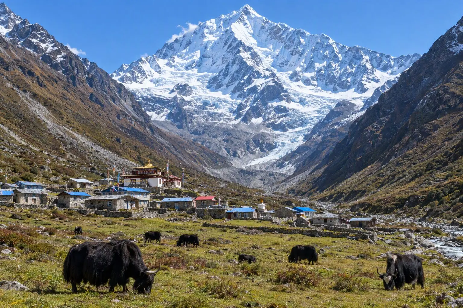
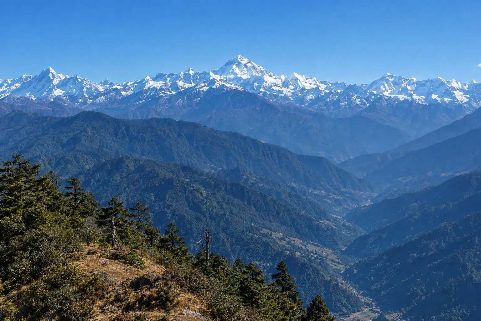
High above the Langtang Valley, where the ridgeline touches the sky at over four thousand metres, a chain of sacred alpine lakes shimmers beneath the peaks. Gosainkunda is the centrepiece — a dark glacial eye in a landscape of rock, ice, and infinite silence. Hindu mythology holds that Lord Shiva himself thrust his trident into this mountainside to draw water after swallowing poison, and a submerged rock formation said to resemble the god draws pilgrims across centuries. For Buddhists, the lake is equally sacred, and the atmosphere at its shore carries an unmistakable weight. The journey begins with a drive north from Kathmandu to Dhunche, the Langtang district headquarters, before climbing steeply through dense rhododendron forest to Sing Gompa — a small monastic settlement famous for its hilltop cheese factory and ancient gompa. Higher still, the vegetation thins to alpine scrub as the trail approaches Laurebina Yak and the sacred lake country above. On clear mornings the summits of Langtang Lirung, Ganesh Himal, and Manaslu are visible from the ridge, framed by prayer flags snapping in the thin air. Gosainkunda sees its most extraordinary transformation during the August full moon festival of Janai Purnima, when tens of thousands of pilgrims ascend to bathe in the sacred water. Outside this festival, the lake is profoundly quiet — you may have it entirely to yourself. This is a trek that rewards the spiritually curious and the scenically ambitious in equal measure. Eight days is enough to absorb both dimensions without rushing.

Want more detail on this route?

Read our full route guide with trail conditions, permits, and planning tips.

Route Guide

Highlights

Stand at the sacred Gosainkunda Lake (4,380m) — holy site for Hindu and Buddhist pilgrims
See the chain of alpine lakes reflecting the surrounding peaks
Visit Sing Gompa's ancient cheese factory and hilltop monastery
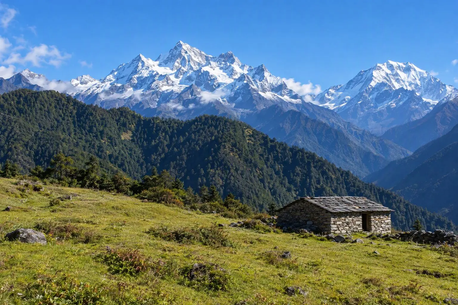
Panoramic views of Langtang Lirung, Ganesh Himal, and Manaslu from the ridge trail
Trek through dense rhododendron forest that blooms spectacularly in spring

Itinerary

8 days
Highest stop
4,380 m
Day 4
Biggest climb
+1,290 m
Day 2
Over 2,500 m
5 days
of 8

Day 1 of 8 · Drive to Dhunche

1,960 m

2,500 m · altitude zone
  1. Day 1

    Drive to Dhunche

    • 1,960 m
    • Teahouse
    • Breakfast, Lunch, Dinner

    The drive from Kathmandu to Dhunche (1,960m) follows the Trisuli Highway northwest for approximately 117 km, taking 5-6 hours depending on road conditions. The route climbs through Nuwakot district past terraced rice paddies and Tamang farming villages before entering the Rasuwa district and gaining altitude sharply. Dhunche is the administrative headquarters of Rasuwa and the gateway to Langtang National Park — your park permits are checked at the entry gate here.

    See Dhunche on the map
  2. Day 2

    Trek to Sing Gompa

    • 3,250 m
    • Up1,290 m from day 1
    • Teahouse
    • Breakfast, Lunch, Dinner
    • Biggest climb

    The climb from Dhunche to Sing Gompa (3,250m) is the most demanding day of the trek, gaining approximately 1,290 metres over 11-13 km through dense rhododendron and oak forest. The trail begins by dropping briefly to a small stream before ascending steeply through Bharku village and continuing upward on well-worn forest paths. In spring, the rhododendrons along this section explode in red, pink, and white — one of the finest floral displays in the Langtang region. Himalayan black bears and red pandas inhabit this forest, though both are elusive.

    See Sing Gompa on the map
  3. Day 3

    Trek to Laurebina Yak

    • 3,900 m
    • Up650 m from day 2
    • Teahouse
    • Breakfast, Lunch, Dinner

    From Sing Gompa the forest thins rapidly as the trail climbs north through diminishing vegetation toward the alpine zone. Today covers 6-8 km over 4-5 hours with a gain of around 650 metres to Laurebina Yak (3,900m). The path follows the ridge crest through dwarf juniper and alpine scrub, passing several small chortens and cairns marking the way. Views open progressively — Langtang Lirung's north face begins to emerge above the ridge to the east, and on clear days Ganesh Himal appears to the northwest. This visual reward grows with every hour of ascent.

    See Lauribina on the map
  4. Day 4

    Trek to Gosainkunda Lake

    • 4,380 m
    • Up480 m from day 3
    • Teahouse
    • Breakfast, Lunch, Dinner
    • Highest stop

    The most significant day of the trek. From Laurebina Yak the trail climbs steeply above the last vegetation onto an open, boulder-strewn ridge at nearly 4,000 metres. The air is perceptibly thinner and the landscape austere — bare rock faces, frost-cracked stones, and the occasional hardy cushion plant. Progress is measured and deliberate. As the ridge crests, the Gosainkunda basin opens below: a broad, rocky cirque containing multiple lakes that glitter in the high-altitude light. At their centre sits Gosainkunda itself, the largest and most sacred, dark blue and utterly still.

  5. Day 5

    Explore Lakes, Return to Laurebina Yak

    • 3,900 m
    • Down480 m from day 4
    • Teahouse
    • Breakfast, Lunch, Dinner

    Spend the morning exploring the sacred lake system above and around Gosainkunda before the descent. Beyond the main lake, a short climb north reveals Bhairavkunda and Surya Kunda — two smaller lakes that complete the sacred circuit. Local belief holds that there are 108 lakes in total, though most are tiny snowmelt pools. The light on the water in early morning, before the clouds build from the south, is exceptional for photography. Pilgrims who have camped overnight perform their ablutions in the icy water — a deeply moving ritual to witness from a respectful distance.

    See Lauribina on the map
  6. Day 6

    Trek to Sing Gompa

    • 3,250 m
    • Down650 m from day 5
    • Teahouse
    • Breakfast, Lunch, Dinner

    The descent from Laurebina Yak to Sing Gompa reverses the Day 3 trail, dropping 650 metres through alpine scrub back into the upper rhododendron forest over 4-5 hours of walking. Descending trails in the Langtang region can be slippery in morning mist, and trekking poles significantly ease the strain on knees over the rockier sections near the treeline. The forest descends quickly once you re-enter it, and the temperature rises degree by degree as altitude is shed. Birdsong — absent above the treeline — returns in welcome abundance.

    See Sing Gompa on the map
  7. Day 7

    Trek to Dhunche, Drive to Kathmandu

    • 1,400 m
    • Down1,850 m from day 6
    • Hotel
    • Breakfast, Lunch

    The final trekking segment descends from Sing Gompa to Dhunche over 11-13 km, losing the same 1,290 metres gained on Day 2. The rhododendron forest — passed at pace on the ascent — reveals itself more generously on the way down, with time to notice the epiphytic orchids on old tree trunks, the shafts of light through the canopy, and the occasional villager tending livestock in forest clearings. The path arrives back in Dhunche by mid-morning, enough time to collect bags, eat a final trail breakfast, and board the waiting vehicle.

    See Dhunche on the map
  8. Day 8

    Departure

    • 1,400 m
    • Breakfast

    A final breakfast in Kathmandu before a private vehicle transfers you to Tribhuvan International Airport. The transfer takes approximately 30-45 minutes from Thamel depending on traffic. If your flight departs in the afternoon, the morning is free for a last wander through Thamel's narrow streets, a visit to the Boudhanath Stupa ten minutes east of the old city, or a cup of coffee with the trekking journal. The Gosainkunda trek compresses a remarkable range of experience into eight days — dense forest, high alpine silence, sacred water, and mountain views that stay in the mind long after the aching legs have recovered.

Want a different pace?

A local guide can add a rest day, shorten a stage, or swap where you sleep. We reply within 24 hours.

Ask a guide on WhatsApp

What's Included

Best Time to Trek Gosainkunda Lake

Month by month

Main seasons: Mar to May and Sep to Nov

Tap a month to add it to your plan.

Spring

Rhododendron forests below Sing Gompa are at peak bloom March-April. The lakes are partially frozen — dramatic for photography. Clear mornings.

Autumn

September-November offers the clearest lake reflections and mountain views. Janai Purnima festival (if timing aligns in late summer) draws huge pilgrim crowds to the lake.

From
$599/ person

Before you book

Is the Gosainkunda Lake Trek right for you?

Straight answers from this trek's own plan. Tap Ask about this on anything you are unsure of, and we send it all to a local guide in one message.

Who this trek suits

A spiritually rich trek combining high-altitude lakes with Hindu-Buddhist pilgrimage culture. Gosainkunda attracts thousands of pilgrims during the Janai Purnima festival (August full moon). Outside festival season, you'll likely have the sacred lakes to yourself. Good for fit trekkers wanting a moderate altitude challenge close to Kathmandu.

Can I walk it?

Level 2 of 4: Moderate.

5-7 hours walking per day

  • Some steep sections, moderate altitude
  • Basic fitness and some hiking experience recommended

Moderate fitness required. The steep climb from Dhunche to Sing Gompa (1,300m gain) is demanding. Maximum altitude of 4,380m requires awareness of AMS symptoms. Prior trekking experience at moderate altitude is recommended.

How high does it go?

Highest point 4,380 meters. 5 of 8 days end above 2,500 meters.

Days above 2,500 m
5 of 8
Rest days to adjust
0

Above 2,500 m altitude sickness is possible for anyone, fit or not. Walk slowly, drink plenty and tell your guide how you feel. Our guides are trained Wilderness First Responders. This plan has no separate rest day; ask us if you want one added.

Where will I sleep?

  • 6teahouse nights
  • 1hotel night

Teahouses are simple family-run lodges: a twin room, a shared dining room and home-cooked meals. Rooms get more basic the higher you go.

Teahouses by altitude

Who will I walk with?

Up to 12 trekkers per group

  • Guides trained as Wilderness First Responders
  • Guiding in 5 languages: English, German, French, Spanish, Nepali
  • Nepal Tourism Board Licensed, trekking since 2010
Meet the team

What if my plans change?

  1. You bookNo deposit
  2. 30 days beforeFree to cancel until here
  3. DepartureGuaranteed to run

You do not pay a deposit to hold your dates. Cancel for free up to 30 days before you start, and our departures are guaranteed, so a confirmed date runs.

What do other trekkers say?

4.9out of 5, from 1,200+ reviews
“The team customized the itinerary so everyone could enjoy at their own pace.”
Markus Weber, Langtang Valley, 2025
Read more reviews

Still unsure? Ask a guide who has walked it.

Tap Ask about this on any answer above to add it to your message.

A real person in our Thamel office replies within 24 hours. Asking costs nothing.

The route

Where the route goes

Every stop on a satellite map, numbered in order. The line follows the trail as mapped on OpenStreetMap. Tap a stop on the map or in the list for its elevation and where you sleep, or switch to the topo map for contour lines. Pick 3D to see the valleys and passes in relief, and fly along the trail.

4 stopsWalk the route stop by stop

Height along the trail: 4 stops over 16.7 km of the route as drawn on the map, from Dhunche at 1,960 meters to Gosaikunda Lake at 4,380 meters.

Ground height along the OpenStreetMap trail, from the Copernicus DEM GLO-90 (© DLR e.V. 2010-2014 and © Airbus Defence and Space GmbH 2014-2018, provided under COPERNICUS by the European Union and ESA). Stop heights are our own.

  • Trail, from OpenStreetMap
  • Start
  • Finish
  • Overnight stop

4 stops, in order

Frequently asked questions

Similar treks nearby

Other routes in the Langtang region.

  • Langtang Valley Trek

    7 daysModerate

    Highest point 3,800 m

    Best: Spring, Autumn, Winter

    from$649

  • Helambu Trek

    6 daysEasy

    Highest point 3,650 m

    Best: Spring, Autumn, Winter

    from$450

  • Tamang Heritage Trail Trek

    8 daysEasy

    Highest point 3,165 m

    Best: Spring, Autumn

    from$549

Compare0/3
Add a trek
Add a trek
Add a trek