Skip to content
+977-9861293812
WhatsApp
Trek and Tour Nepal
Langtang Region · Nepal

Tamang Heritage Trail Trek

4.6from 73 reviews
Days
8
Highest point
3,165 m
Level
Easy
Best months
Mar to May and Sep to Nov

Overview

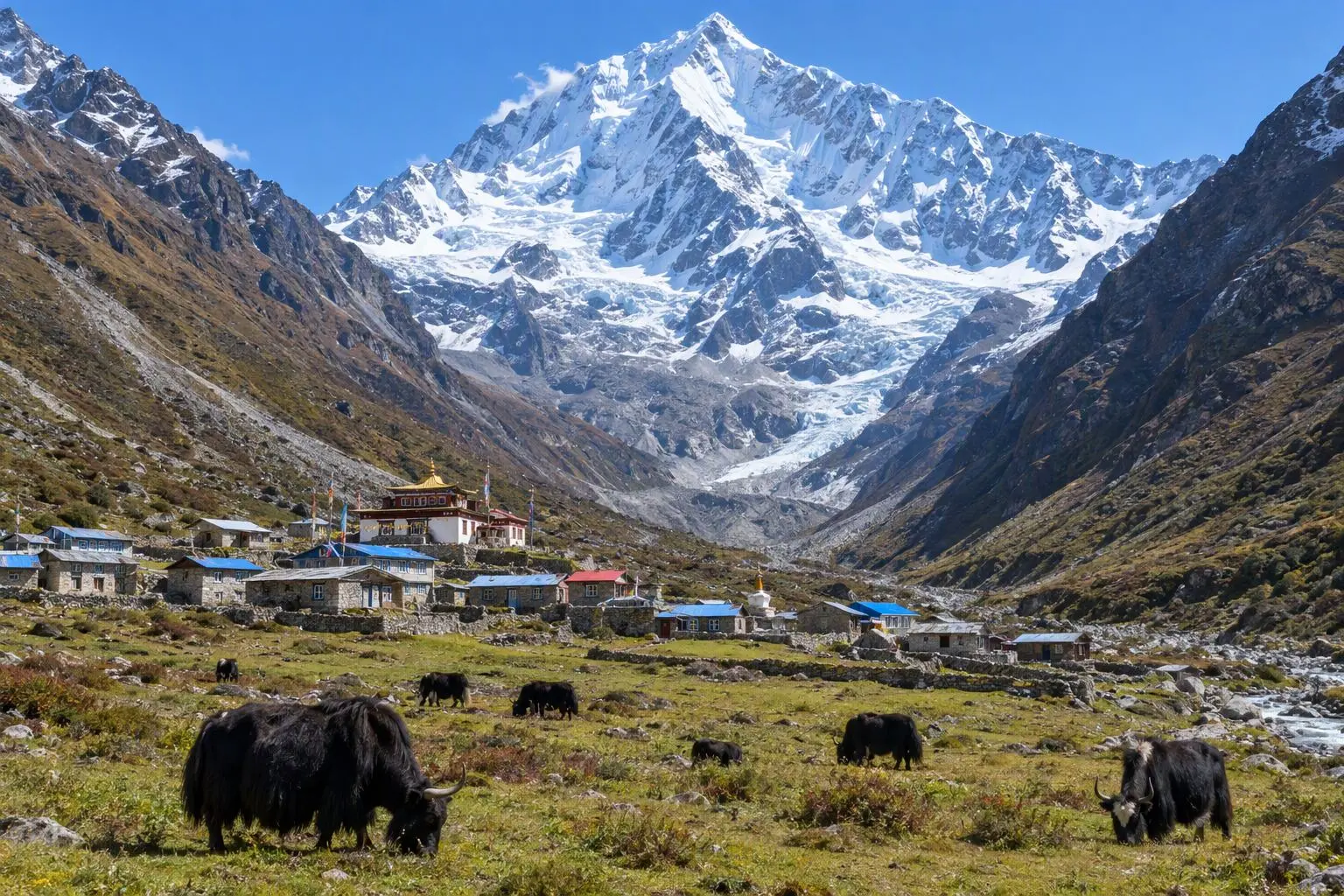
The Tamang Heritage Trail was born from catastrophe and shaped by resilience. First developed in 2007 and expanded following the devastating 2015 earthquake, this circuit through Tamang villages north of Syabrubesi was designed with a single purposeful intent: to bring tourism revenue to communities that had long sat beside Nepal's most-visited trekking corridor without receiving any of its benefits. The trail weaves through four distinct villages — Gatlang, Tatopani, Thuman, and Briddim — each a living gallery of Tamang Buddhist culture. Stone houses with intricately carved wooden windows line the main streets of settlements that predate the tourist economy by centuries. Monasteries whose painted facades are freshened each spring stand beside community halls where Tamang Selo music still fills the air during festivals. The natural hot springs at Tatopani, where geothermal waters bubble up beside the Bhote Koshi river, provide a soak of considerable pleasure after a day on the trail. The maximum altitude of 3,165m at Nagthali viewpoint keeps the trek firmly accessible — daily walking ranges from four to six hours on well-maintained village paths, and the consistent low altitude means altitude sickness is rarely a concern. What the trail lacks in dramatic mountain closeness it compensates with cultural texture: homestay dinners where Tamang grandmothers press extra portions on you, monks spinning prayer wheels in gompa courtyards, and village children following at a curious, cheerful distance. This is one of Nepal's most genuinely community-beneficial trekking routes.

Want more detail on this route?

Read our full route guide with trail conditions, permits, and planning tips.

Route Guide

Highlights

Immerse in Tamang Buddhist culture across four distinct villages
Soak in natural hot springs at Tatopani on the Bhote Koshi river
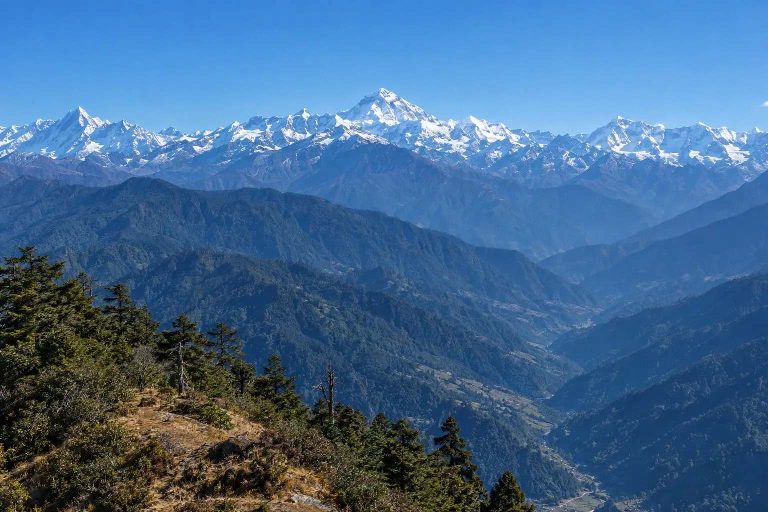
Summit Nagthali viewpoint (3,165m) for Ganesh Himal and Langtang Lirung panorama
Support earthquake-recovery communities through direct tourism spending
Experience traditional Tamang hospitality, cuisine, and monastery visits

Itinerary

8 days
Highest stop
3,165 m
Day 6
Biggest climb
+935 m
Day 6
Over 2,500 m
2 days
of 8

Day 1 of 8 · Drive to Syabrubesi

1,550 m

2,500 m · altitude zone
  1. Day 1

    Drive to Syabrubesi

    • 1,550 m
    • Teahouse
    • Breakfast, Lunch, Dinner

    The drive from Kathmandu to Syabrubesi (1,550m) covers approximately 117 km along the Trisuli Highway, taking 6-7 hours through the Rasuwa district. The road climbs from the subtropical Trisuli valley past Dhunche before descending to the confluence settlement where the Langtang Khola and Bhote Koshi rivers meet. Syabrubesi is the hub for both the Langtang Valley and Tamang Heritage Trail routes — a well-supplied small town with good teahouses, a busy market, and a steady flow of trekkers.

    See Syabrubesi on the map
  2. Day 2

    Trek to Gatlang

    • 2,300 m
    • Up750 m from day 1
    • Teahouse
    • Breakfast, Lunch, Dinner

    The Tamang Heritage Trail departs Syabrubesi heading northwest, crossing the Bhote Koshi on a suspension bridge before climbing steeply through mixed forest and terraced farmland to Gatlang (2,300m). The ascent covers 10-12 km over 5-6 hours with a gain of approximately 750 metres. The trail passes through several small hamlets where chickens and buffalo share the path and women in traditional Tamang dress tend to kitchen gardens beside the trail.

    See Gatlang on the map
  3. Day 3

    Trek to Tatopani (Hot Springs)

    • 2,600 m
    • Up300 m from day 2
    • Teahouse
    • Breakfast, Lunch, Dinner

    A moderate day of 10-12 km covering 4-5 hours with some descent and re-ascent brings you from Gatlang down to Tatopani (2,600m) on the Bhote Koshi river. The trail drops initially from Gatlang through terraced fields and scrub forest before regaining altitude on the northern side of a spur. Views of Ganesh Himal I, II, and III appear to the north during the morning's walking — the massive seven-peaked massif filling the northern skyline with increasing insistence as the trek progresses.

    See Tatopani on the map
  4. Day 4

    Trek to Thuman

    • 2,200 m
    • Down400 m from day 3
    • Teahouse
    • Breakfast, Lunch, Dinner

    Today's trail descends slightly from Tatopani before crossing the Bhote Koshi and climbing through terraced farmland and patches of oak forest to reach Thuman (2,200m) — a 10-12 km walk taking 4-5 hours. The Bhote Koshi crossing is on a traditional wooden bridge, and the far bank marks the transition from the lower valley floor to the upper terrace system where Thuman village sits on a wide bench with magnificent views back down the valley toward Tibet.

    See Thuman on the map
  5. Day 5

    Trek to Briddim

    • 2,230 m
    • Up30 m from day 4
    • Teahouse
    • Breakfast, Lunch, Dinner

    The trail from Thuman to Briddim (2,230m) meanders through the upper terrace system of the valley, crossing small streams and passing through several unnamed hamlets over 8-10 km in 4-5 hours of easy walking. The gradient is gentle compared to previous days, and the day has a pleasant rambling quality — this is the kind of trekking where the schedule exists to ensure you stop and sit in a teahouse courtyard watching village life rather than marching to reach the next point.

    See Briddim on the map
  6. Day 6

    Trek to Nagthali Viewpoint, Return to Briddim

    • 3,165 m
    • Up935 m from day 5
    • Teahouse
    • Breakfast, Lunch, Dinner
    • Highest stop
    • Biggest climb

    An acclimatisation and summit day: from Briddim the trail climbs steeply north through rhododendron and fir forest to the Nagthali Danda viewpoint (3,165m), the highest point of the Tamang Heritage Trail. The ascent covers approximately 8-10 km over 3-4 hours, gaining nearly 950 metres. The trail is forested for most of the climb, emerging onto open moorland below the ridgeline for the final 45 minutes. The effort is well rewarded.

    See Briddim on the map
  7. Day 7

    Trek to Syabrubesi, Drive to Kathmandu

    • 1,400 m
    • Down1,765 m from day 6
    • Hotel
    • Breakfast, Lunch

    The final trekking segment returns from Briddim to Syabrubesi along the valley trail — approximately 12-14 km over 4-5 hours of mixed terrain, descending progressively to the river confluence. The morning light on the western-facing valley walls and the familiar sounds of Syabrubesi's market below give the descent a satisfying closing rhythm. A final tea at the Bhote Koshi bridge, a last look north to the Ganesh peaks, and the vehicle is waiting to take you home.

    See Syabrubesi on the map
  8. Day 8

    Departure

    • 1,400 m
    • Breakfast

    A final hotel breakfast before a private transfer to Tribhuvan International Airport. The drive takes 30-45 minutes from Thamel. If your flight is in the afternoon, the morning offers time for a last exploration of Kathmandu — the Boudhanath Stupa fifteen minutes east of Thamel is a calm and beautiful place to spend a final morning, watching the circumambulation of pilgrims and monks against the enormous white dome. The Tamang Heritage Trail is a trek that leaves an aftertaste of warmth — the specific human warmth of communities that have chosen to open their homes and lives to strangers and made something genuinely worthwhile of it.

Want a different pace?

A local guide can add a rest day, shorten a stage, or swap where you sleep. We reply within 24 hours.

Ask a guide on WhatsApp

What's Included

Best Time to Trek Tamang Heritage Trail

Month by month

Main seasons: Mar to May and Sep to Nov

Tap a month to add it to your plan.

Spring

March-May brings wildflowers and green terraces. Tamang new year celebrations (Sonam Lhosar) may overlap in March. Warm walking conditions.

Autumn

October-November delivers clear Ganesh Himal views from Nagthali. The harvest season adds golden colour to the village terraces.

From
$549/ person

Before you book

Is the Tamang Heritage Trail Trek right for you?

Straight answers from this trek's own plan. Tap Ask about this on anything you are unsure of, and we send it all to a local guide in one message.

Who this trek suits

A cultural trek designed to support communities rebuilding after the 2015 earthquake. The Tamang Heritage Trail showcases one of Nepal's richest ethnic cultures through village stays, monastery visits, and home-cooked meals. Low altitude makes it accessible to all fitness levels.

Can I walk it?

Level 1 of 4: Easy.

4-5 hours walking per day

  • Well-maintained trails, gradual elevation gain
  • No prior trekking experience needed

Easy trek at low altitude. Maximum 3,165m is well below the AMS threshold. Daily walking is 4-6 hours on village trails. Suitable for first-time trekkers, families, and older adults.

How high does it go?

Highest point 3,165 meters. 2 of 8 days end above 2,500 meters.

Days above 2,500 m
2 of 8
Highest night's sleep
3,165 m

Above 2,500 m altitude sickness is possible for anyone, fit or not. Walk slowly, drink plenty and tell your guide how you feel. Our guides are trained Wilderness First Responders.

Where will I sleep?

  • 6teahouse nights
  • 1hotel night

Teahouses are simple family-run lodges: a twin room, a shared dining room and home-cooked meals. Rooms get more basic the higher you go.

Teahouses by altitude

Who will I walk with?

Up to 12 trekkers per group

  • Guides trained as Wilderness First Responders
  • Guiding in 5 languages: English, German, French, Spanish, Nepali
  • Nepal Tourism Board Licensed, trekking since 2010
Meet the team

What if my plans change?

  1. You bookNo deposit
  2. 30 days beforeFree to cancel until here
  3. DepartureGuaranteed to run

You do not pay a deposit to hold your dates. Cancel for free up to 30 days before you start, and our departures are guaranteed, so a confirmed date runs.

What do other trekkers say?

4.9out of 5, from 1,200+ reviews
“The team customized the itinerary so everyone could enjoy at their own pace.”
Markus Weber, Langtang Valley, 2025
Read more reviews

Still unsure? Ask a guide who has walked it.

Tap Ask about this on any answer above to add it to your message.

A real person in our Thamel office replies within 24 hours. Asking costs nothing.

The route

Where the route goes

Every stop on a satellite map, numbered in order. The line follows the trail as mapped on OpenStreetMap. Tap a stop on the map or in the list for its elevation and where you sleep, or switch to the topo map for contour lines. Pick 3D to see the valleys and passes in relief, and fly along the trail.

5 stopsWalk the route stop by stop

Height along the trail: 5 stops over 33.4 km of the route as drawn on the map, from Syabrubesi at 1,503 meters to Briddim at 2,229 meters.

Ground height along the OpenStreetMap trail, from the Copernicus DEM GLO-90 (© DLR e.V. 2010-2014 and © Airbus Defence and Space GmbH 2014-2018, provided under COPERNICUS by the European Union and ESA). Stop heights are our own.

  • Trail, from OpenStreetMap
  • Start
  • Finish
  • Overnight stop

5 stops, in order

Frequently asked questions

Similar treks nearby

Other routes in the Langtang region.

  • Langtang Valley Trek

    7 daysModerate

    Highest point 3,800 m

    Best: Spring, Autumn, Winter

    from$649

  • Gosainkunda Lake Trek

    8 daysModerate

    Highest point 4,380 m

    Best: Spring, Autumn

    from$599

  • Helambu Trek

    6 daysEasy

    Highest point 3,650 m

    Best: Spring, Autumn, Winter

    from$450

Compare0/3
Add a trek
Add a trek
Add a trek