Skip to content
+977-9861293812
WhatsApp
Trek and Tour Nepal
Langtang Region · Nepal

Langtang Valley Trek

Guaranteed departure4.7from 198 reviews
Days
7
Highest point
3,800 m
Level
Moderate
Best months
Mar to May, Sep to Nov and Dec to Feb

Overview

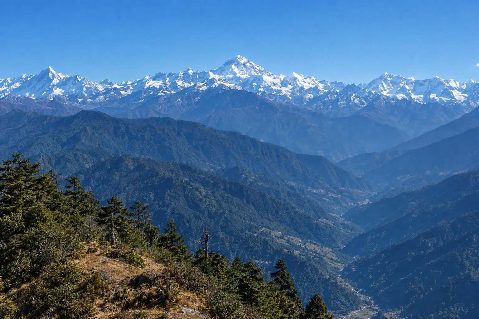
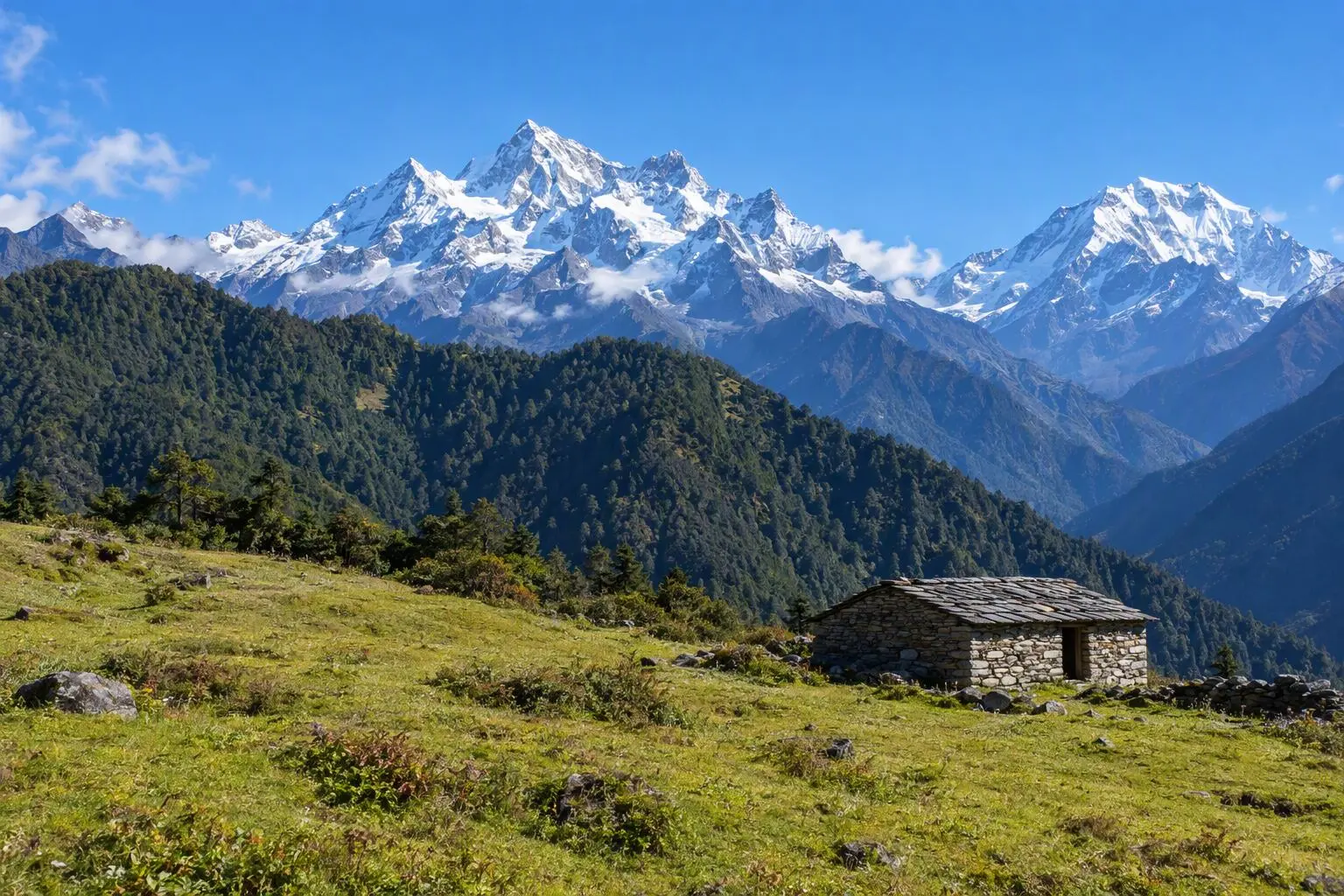
Step into the valley of glaciers without stepping far from Kathmandu. The Langtang Valley Trek is the closest major Himalayan trek to the capital — just a single day's drive north — yet it delivers mountain scenery that rivals routes twice its length. Over seven days the trail climbs from lush subtropical forest alive with birdsong and red pandas into a sweeping U-shaped glacial valley where the 7,227-metre north face of Langtang Lirung towers overhead. Along the way you will pass through Tamang heritage villages rich in Tibetan-Buddhist culture, visit the unique Kyanjin Cheese Factory established in the 1950s, and witness the extraordinary resilience of communities that rebuilt their homes and lodges after the devastating 2015 earthquake. An optional dawn ascent of Tserko Ri (5,033m) rewards early risers with a 360-degree panorama spanning Ganesh Himal, Dorje Lakpa, and the distant summit of Shishapangma across the Tibetan border. This trek is ideal for first-time Himalayan trekkers, travellers with limited time, or anyone returning to Nepal who wants a meaningful experience without the crowds. It treks well in spring, autumn, and even early winter, making it one of Nepal's most versatile routes.

Want more detail on this route?

Read our full route guide with trail conditions, permits, and planning tips.

Route Guide

Highlights

Summit Tserko Ri at 5,033m for 360-degree panoramas
Visit the Kyanjin Cheese Factory
Closest major Himalayan trek to Kathmandu
Witness the resilience of communities rebuilt after 2015 earthquake
Explore Tamang heritage villages and monasteries

Itinerary

7 days
Highest stop
3,800 m
Day 4
Biggest climb
+1,050 m
Day 3
Over 2,500 m
2 days
of 7

Day 1 of 7 · Drive to Syabrubesi

1,550 m

2,500 m · altitude zone
  1. Day 1

    Drive to Syabrubesi

    • 1,550 m
    • Teahouse
    • Breakfast, Lunch, Dinner

    The 7-8 hour drive from Kathmandu to Syabrubesi (1,550m) follows the Trisuli Highway northwest through the Galchi corridor, passing through Trisuli Bazaar before climbing into the Rasuwa district. The road is paved for the first four hours but transitions to rougher sections beyond Dhunche, the district headquarters where your Langtang National Park permit is checked. Total distance is approximately 117 km, but the winding mountain roads keep speeds low.

    See Syabrubesi on the map
  2. Day 2

    Trek to Lama Hotel

    • 2,380 m
    • Up830 m from day 1
    • Teahouse
    • Breakfast, Lunch, Dinner

    The trail begins with a steep descent from Syabrubesi to the Langtang Khola before climbing steadily through dense subtropical forest for approximately 13 km over 5-6 hours of walking. You gain around 830m of elevation today, crossing several tributaries on wooden bridges as the path follows the north bank of the river. The trail passes through the small settlement of Bamboo (1,960m), a common lunch stop where basic teahouses serve dal bhat and noodle soup.

    See Lama Hotel on the map
  3. Day 3

    Trek to Langtang Village

    • 3,430 m
    • Up1,050 m from day 2
    • Teahouse
    • Breakfast, Lunch, Dinner
    • Biggest climb

    Today covers roughly 12 km over 5-6 hours with a significant 1,050m elevation gain from Lama Hotel to Langtang Village (3,430m). The trail continues climbing through rhododendron forest before emerging into the wide, U-shaped glacial valley near Ghoda Tabela (3,030m), a former Tibetan army post and national park checkpoint. Beyond here the forest thins and the landscape opens dramatically, with yak pastures spreading across the valley floor and snow-capped peaks rising on both flanks.

  4. Day 4

    Trek to Kyanjin Gompa

    • 3,800 m
    • Up370 m from day 3
    • Teahouse
    • Breakfast, Lunch, Dinner
    • Highest stop

    A shorter and more relaxed day of trekking — approximately 7 km over 3-4 hours with a moderate 440m elevation gain from Langtang Village to Kyanjin Gompa (3,870m). The trail follows the valley floor through open yak pastures dotted with stone corrals, crossing small streams fed by glacial melt. The gradient is gentle, allowing you to settle into a comfortable rhythm while the valley walls close in with increasing grandeur on both sides.

  5. Day 5

    Exploration Day, Return to Lama Hotel

    • 2,380 m
    • Down1,420 m from day 4
    • Teahouse
    • Breakfast, Lunch, Dinner

    An early pre-dawn start is essential if you choose the full ascent of Tserko Ri (5,033m), the premier viewpoint of the Langtang Valley. The climb from Kyanjin Gompa gains approximately 1,160m over a steep, unmarked trail that takes 3-4 hours up and 2 hours down. The shorter alternative, Kyanjin Ri (4,773m), requires about 2 hours up and offers excellent views with less exertion. Both summits reward with a 360-degree panorama encompassing Langtang Lirung, Ganesh Himal, Dorje Lakpa, and on clear days, the distant pyramid of Shishapangma (8,027m) across the Tibetan border.

    See Lama Hotel on the map
  6. Day 6

    Trek to Syabrubesi, Drive to Kathmandu

    • 1,400 m
    • Down980 m from day 5
    • Hotel
    • Breakfast, Lunch

    The final trekking segment covers approximately 13 km downhill from Lama Hotel to Syabrubesi over 4-5 hours, retracing the Day 2 route through the dense oak and rhododendron forest. The descent drops 830m and is relatively straightforward, though the steep sections demand careful foot placement on loose stones. Arriving in Syabrubesi by late morning, you board a private vehicle for the 7-8 hour return drive to Kathmandu via the Trisuli Highway.

    See Syabrubesi on the map
  7. Day 7

    Departure

    • 1,400 m
    • Breakfast

    Your final morning in Kathmandu begins with breakfast at the hotel before a private vehicle transfers you to Tribhuvan International Airport, approximately 30 minutes from the Thamel area depending on traffic. The transfer is timed to your flight schedule, and your guide will assist with check-in logistics if needed.

Want a different pace?

A local guide can add a rest day, shorten a stage, or swap where you sleep. We reply within 24 hours.

Ask a guide on WhatsApp

What's Included

Best Time to Trek Langtang Valley

Month by month

Main seasons: Mar to May, Sep to Nov and Dec to Feb

Tap a month to add it to your plan.

Spring

Rhododendron blooms paint the forest trail between Lama Hotel and Langtang Village from late March. The valley floor is green, streams are full, and Tamang villages host spring celebrations.

Autumn

Crystal-clear views of Langtang Lirung's north face from Kyanjin Gompa. October-November brings the driest conditions and the best visibility for the optional Tserko Ri summit at dawn.

Winter

December-February offers a quieter, snow-dusted valley experience. Teahouses stay open, the trail is peaceful, and crisp winter light creates dramatic photography conditions. Best for experienced trekkers comfortable with cold nights.

From
$649/ person

Before you book

Is the Langtang Valley Trek right for you?

Straight answers from this trek's own plan. Tap Ask about this on anything you are unsure of, and we send it all to a local guide in one message.

Who this trek suits

Ideal for first-time Himalayan trekkers and travellers with limited time. Autumn delivers crystal-clear views of Langtang Lirung, spring brings rhododendron blooms through the forest approach, and early winter offers a quieter, snow-dusted valley experience — all just a day's drive from Kathmandu.

Can I walk it?

Level 2 of 4: Moderate.

5-7 hours walking per day

  • Some steep sections, moderate altitude
  • Basic fitness and some hiking experience recommended

A great first Himalayan trek for active people. The daily distances are moderate, the maximum altitude is under 4,000m, and the optional Tserko Ri summit (5,033m) lets you push your limits if you want to. Regular weekend hikers will manage comfortably.

How high does it go?

Highest point 3,800 meters. 2 of 7 days end above 2,500 meters.

Days above 2,500 m
2 of 7
Rest days to adjust
1

Above 2,500 m altitude sickness is possible for anyone, fit or not. Walk slowly, drink plenty and tell your guide how you feel. Our guides are trained Wilderness First Responders.

Where will I sleep?

  • 5teahouse nights
  • 1hotel night

Teahouses are simple family-run lodges: a twin room, a shared dining room and home-cooked meals. Rooms get more basic the higher you go.

Teahouses by altitude

Who will I walk with?

Up to 12 trekkers per group

  • Guides trained as Wilderness First Responders
  • Guiding in 5 languages: English, German, French, Spanish, Nepali
  • Nepal Tourism Board Licensed, trekking since 2010
Meet the team

What if my plans change?

  1. You bookNo deposit
  2. 30 days beforeFree to cancel until here
  3. DepartureGuaranteed to run

You do not pay a deposit to hold your dates. Cancel for free up to 30 days before you start, and our departures are guaranteed, so a confirmed date runs.

What do other trekkers say?

4.9out of 5, from 1,200+ reviews
“The team customized the itinerary so everyone could enjoy at their own pace.”
Markus Weber, Langtang Valley, 2025
Read more reviews

Still unsure? Ask a guide who has walked it.

Tap Ask about this on any answer above to add it to your message.

A real person in our Thamel office replies within 24 hours. Asking costs nothing.

The route

Where the route goes

Every stop on a satellite map, numbered in order, with the peaks around them. The line follows the trail as mapped on OpenStreetMap. Tap a stop on the map or in the list for its elevation and where you sleep, or switch to the topo map for contour lines. Pick 3D to see the valleys and passes in relief, and fly along the trail.

6 stopsWalk the route stop by stop

Height along the trail: 6 stops over 33.0 km of the route as drawn on the map, from Syabrubesi at 1,503 meters to Tserko Ri at 4,984 meters.

Ground height along the OpenStreetMap trail, from the Copernicus DEM GLO-90 (© DLR e.V. 2010-2014 and © Airbus Defence and Space GmbH 2014-2018, provided under COPERNICUS by the European Union and ESA). Stop heights are our own.

  • Trail, from OpenStreetMap
  • Start
  • Finish
  • Overnight stop
  • Mountain peak

6 stops, in order

Frequently asked questions

Similar treks nearby

Other routes in the Langtang region.

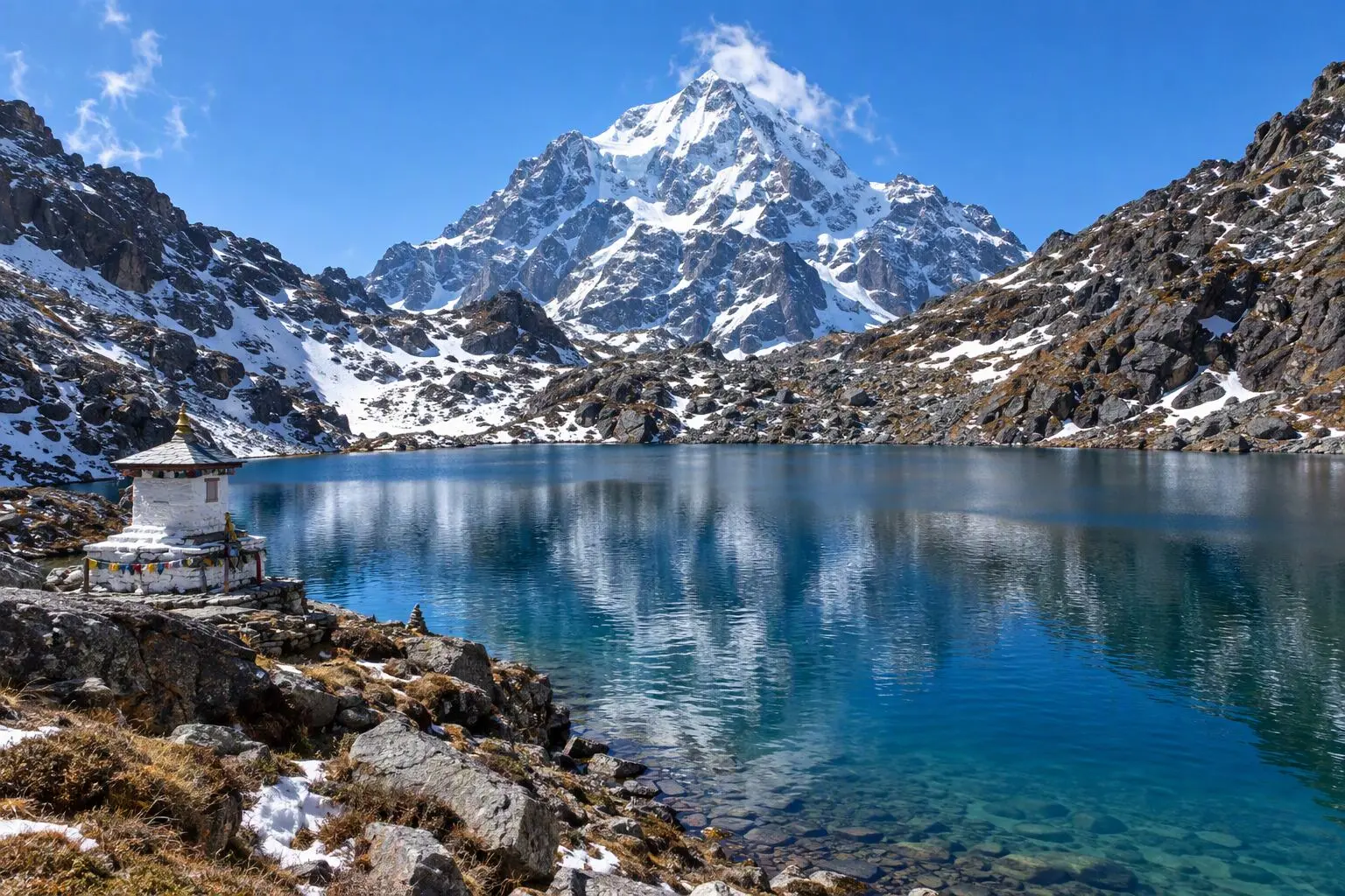
  • Gosainkunda Lake Trek

    8 daysModerate

    Highest point 4,380 m

    Best: Spring, Autumn

    from$599

  • Helambu Trek

    6 daysEasy

    Highest point 3,650 m

    Best: Spring, Autumn, Winter

    from$450

  • Tamang Heritage Trail Trek

    8 daysEasy

    Highest point 3,165 m

    Best: Spring, Autumn

    from$549

Compare0/3
Add a trek
Add a trek
Add a trek