Skip to content
+977-9861293812
WhatsApp
Trek and Tour Nepal
Everest Region · Nepal

Everest Base Camp Trek

Guaranteed departure4.9from 342 reviews
Days
14
Highest point
5,545 m
Level
Challenging
Best months
Mar to May and Sep to Nov

Overview

Walk in the footsteps of legends. The Everest Base Camp trek is more than just a hike — it is a pilgrimage through the heart of the Khumbu Valley that has drawn adventurers since Tenzing and Hillary first reached the summit in 1953. Beginning with a spine-tingling flight into Lukla, the route winds through ancient Sherpa villages, rhododendron forests, and high-altitude monasteries before arriving at the foot of the world's highest peak at 5,364 metres. Along the way you will cross the iconic Hillary Suspension Bridge, attend a prayer ceremony at Tengboche Monastery beneath the soaring spire of Ama Dablam, and watch the sunrise paint Everest gold from the summit of Kala Patthar at 5,545 metres. This trek is ideal for fit hikers who crave a bucket-list challenge without technical climbing — no ropes or ice axes required. Two well-placed acclimatisation days keep the ascent safe and enjoyable. Spring (March to May) delivers warm days and blooming rhododendrons, while autumn (September to November) offers the clearest skies and most dramatic mountain views. Whichever season you choose, the warmth of Sherpa hospitality and the sheer scale of the Himalaya will stay with you long after you return home.

Want more detail on this route?

Read our full route guide with trail conditions, permits, and planning tips.

Route Guide

Highlights

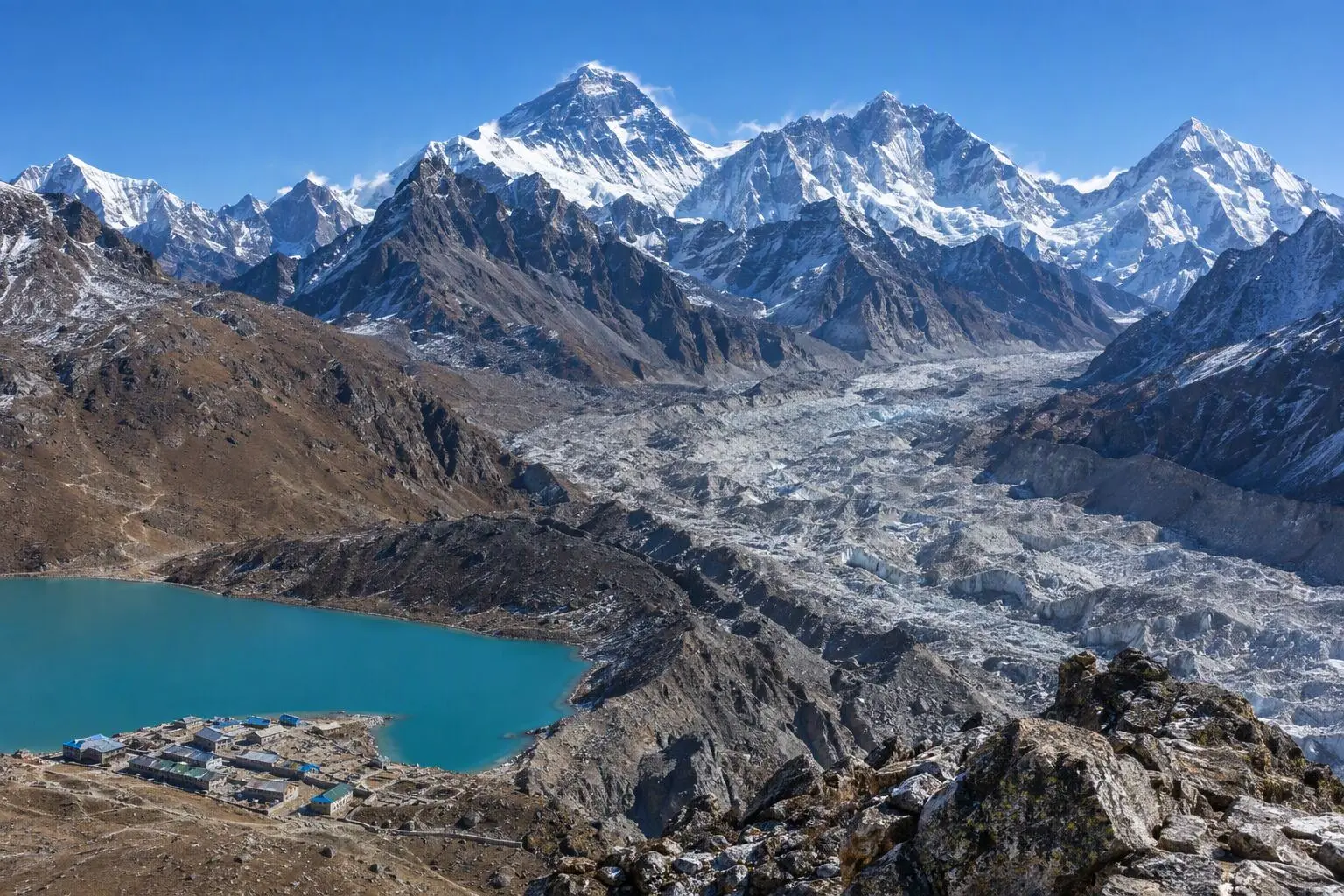
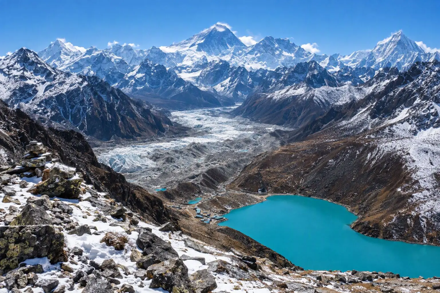
Stand at Everest Base Camp at 5,364m
Watch sunrise from Kala Patthar at 5,545m
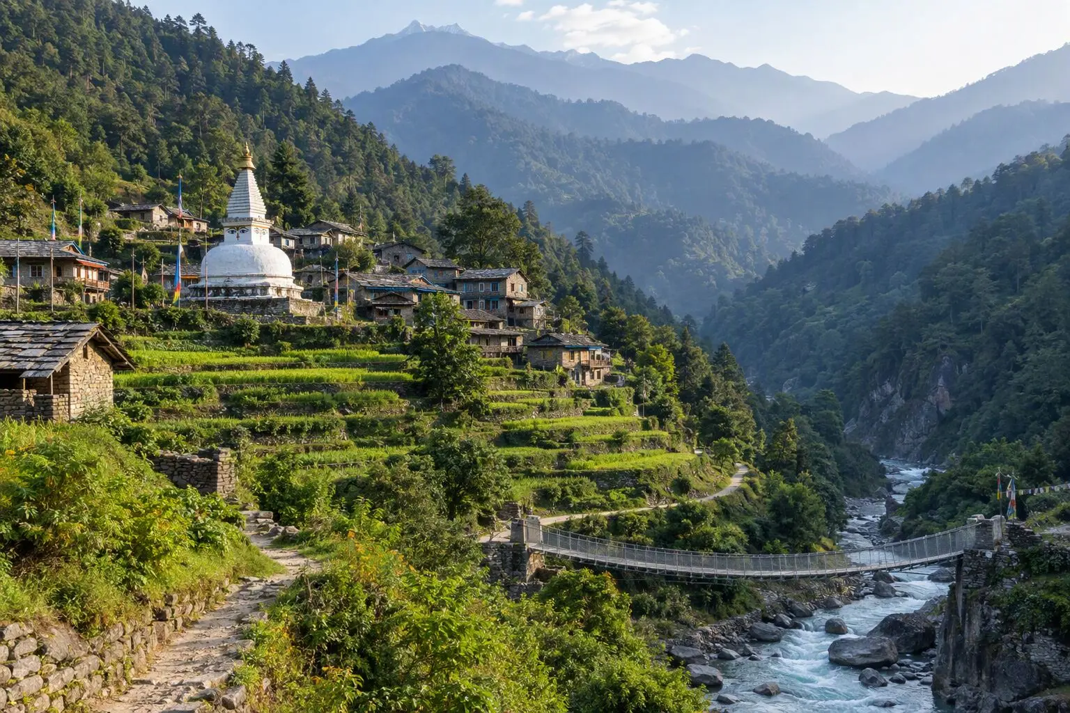
Cross the iconic Hillary Suspension Bridge
Visit Tengboche Monastery beneath Ama Dablam
Experience Sherpa hospitality in Namche Bazaar
Fly into Lukla on one of the world's most dramatic runways

Itinerary

14 days
Highest stop
5,140 m
Day 9
Biggest climb
+830 m
Day 3
Over 2,500 m
11 days
of 14

Day 1 of 14 · Arrival in Kathmandu

1,400 m

2,500 m · altitude zone
  1. Day 1

    Arrival in Kathmandu

    • 1,400 m
    • Hotel
    • Dinner

    Your Everest Base Camp trek begins the moment you touch down at Tribhuvan International Airport in Kathmandu, nestled at 1,400m in the bowl-shaped Kathmandu Valley. Our airport representative will greet you outside the terminal and transfer you by private vehicle to your hotel in the Thamel district, roughly a 30-minute drive depending on traffic. After settling in, join your trek leader for a pre-trek briefing covering the full 14-day itinerary, gear checklist, and permit verification.

  2. Day 2

    Fly to Lukla, Trek to Phakding

    • 2,610 m
    • Up1,210 m from day 1
    • Teahouse
    • Breakfast, Lunch, Dinner

    A pre-dawn transfer to Kathmandu's domestic terminal sets the stage for one of the world's most dramatic flights. The 35-minute hop to Tenzing-Hillary Airport in Lukla (2,840m) threads between towering Himalayan valleys before landing on a short, uphill runway perched on a mountainside. From Lukla, the trail descends gently through pine and rhododendron forest for approximately 8 km over 3 to 4 hours, following the Dudh Koshi river valley to the village of Phakding at 2,610m.

    See Phakding on the map
  3. Day 3

    Trek to Namche Bazaar

    • 3,440 m
    • Up830 m from day 2
    • Teahouse
    • Breakfast, Lunch, Dinner
    • Biggest climb

    Today's 11 km trek to Namche Bazaar (3,440m) takes roughly 5 to 6 hours and includes a significant 830m elevation gain. The trail follows the Dudh Koshi upstream, crossing several suspension bridges before reaching the famous Hillary Suspension Bridge — a high-span crossing draped in prayer flags with the river roaring far below. After entering Sagarmatha National Park at the Monjo checkpoint, the trail climbs steeply through dense forest on a relentless switchback ascent toward Namche.

  4. Day 4

    Acclimatization Day in Namche

    • 3,440 m
    • Teahouse
    • Breakfast, Lunch, Dinner
    • Acclimatization

    This acclimatization day is critical for a safe and successful Everest Base Camp trek. The recommended morning hike climbs roughly 440m to the Everest View Hotel at 3,880m, a roughly 3-hour round trip that rewards you with a sweeping panorama of Everest, Lhotse, Nuptse, Ama Dablam, and Thamserku. The climb-high, sleep-low principle is essential here — gaining elevation during the day and returning to sleep at 3,440m helps your body produce additional red blood cells.

  5. Day 5

    Trek to Tengboche

    • 3,860 m
    • Up420 m from day 4
    • Teahouse
    • Breakfast, Lunch, Dinner

    The 10 km trek from Namche to Tengboche (3,860m) takes approximately 5 hours and features a dramatic profile: first a steep 600m descent to the Dudh Koshi confluence at Phungi Thanga, then a sustained 600m climb through dense rhododendron and magnolia forest to the Tengboche ridge. The net elevation gain is roughly 420m, but the undulating terrain makes it feel more demanding than the numbers suggest.

    See Tengboche on the map
  6. Day 6

    Trek to Dingboche

    • 4,410 m
    • Up550 m from day 5
    • Teahouse
    • Breakfast, Lunch, Dinner

    The 12 km trek from Tengboche to Dingboche (4,410m) climbs 550m over roughly 5 to 6 hours. The trail descends from Tengboche through a mossy birch and rhododendron forest to the village of Pangboche, home to the oldest monastery in the Khumbu. From there, you cross the Imja Khola on a steel bridge and begin the steady climb up the wide, wind-swept Imja Valley to Dingboche, leaving the tree line behind for good.

    See Dingboche on the map
  7. Day 7

    Acclimatization Day in Dingboche

    • 4,410 m
    • Teahouse
    • Breakfast, Lunch, Dinner
    • Acclimatization

    Your second acclimatization day follows the same climb-high, sleep-low strategy. The recommended hike ascends Nangkartshang Peak (5,083m), a steep but non-technical climb of roughly 670m that takes 4 to 5 hours round trip from Dingboche. The trail rises through alpine scrub and rocky terrain, rewarding you with a 360-degree panorama at the summit that includes Makalu (8,485m, the world's fifth highest), Lhotse's massive south face, Ama Dablam, Island Peak, and the Chukhung Valley stretching east toward the Amphu Lapcha pass.

    See Dingboche on the map
  8. Day 8

    Trek to Lobuche

    • 4,910 m
    • Up500 m from day 7
    • Teahouse
    • Breakfast, Lunch, Dinner

    The 10 km trek from Dingboche to Lobuche (4,910m) gains 500m of elevation over approximately 5 hours. The trail follows the lateral moraine of the Khumbu Glacier, passing through the small settlement of Dughla before climbing steeply to the Thukla Pass (4,830m). The terrain is rocky, barren, and increasingly lunar in character — vegetation is reduced to hardy lichens and the occasional tuft of alpine grass.

    See Lobuche on the map
  9. Day 9

    Trek to Gorakshep & Everest Base Camp

    • 5,140 m
    • Up230 m from day 8
    • Teahouse
    • Breakfast, Lunch, Dinner
    • Highest stop

    This is the day you have been working toward. The morning trek from Lobuche to Gorak Shep (5,140m) covers roughly 5 km over 3 hours across rocky, undulating moraine terrain alongside the Khumbu Glacier. After dropping your pack at the teahouse in Gorak Shep, you continue another 5 km south to Everest Base Camp (5,364m), a 2 to 3 hour walk each way over glacial rubble, boulders, and ice. The total walking time for the day is 7 to 8 hours.

  10. Day 10

    Hike Kala Patthar, Trek to Pheriche

    • 4,240 m
    • Down900 m from day 9
    • Teahouse
    • Breakfast, Lunch, Dinner

    An alarm at 4:00 AM launches the most visually spectacular morning of the entire trek. The climb from Gorak Shep to the summit of Kala Patthar (5,545m) gains 405m over roughly 2 hours up a steep, rocky trail in freezing pre-dawn darkness. Headlamps bob in a line of trekkers ascending the ridge. At the summit — the highest point of the entire trek — you are rewarded with the definitive panorama: Everest's full summit pyramid illuminated in golden sunrise light, flanked by Lhotse, Nuptse, Changtse, and Pumori. Cho Oyu gleams to the west. This is the postcard view, and no photograph fully captures the scale.

  11. Day 11

    Trek to Namche Bazaar

    • 3,440 m
    • Down800 m from day 10
    • Teahouse
    • Breakfast, Lunch, Dinner

    Today's descent from Pheriche to Namche Bazaar (3,440m) covers approximately 20 km and drops 800m over 6 to 7 hours of walking. The trail reverses the outbound route through Pangboche and Tengboche, but the downhill pace makes it significantly faster. You will pass through the rhododendron forests above and below Tengboche, which burst into spectacular pink, red, and white blooms during the spring trekking season.

  12. Day 12

    Trek to Lukla

    • 2,840 m
    • Down600 m from day 11
    • Teahouse
    • Breakfast, Lunch, Dinner

    The final trekking day descends from Namche Bazaar to Lukla (2,840m), covering approximately 19 km over 6 to 7 hours. The trail drops steeply from Namche to the Dudh Koshi, crosses the Hillary Suspension Bridge one last time, and follows the river valley south through Phakding and on to Lukla. The familiar terrain passes quickly, and there is a bittersweet quality to walking these trails for the last time.

    See Lukla on the map
  13. Day 13

    Fly to Kathmandu

    • 1,400 m
    • Down1,440 m from day 12
    • Hotel
    • Breakfast, Dinner

    The morning flight from Lukla to Kathmandu reverses the dramatic 35-minute mountain hop that launched your trek twelve days ago. Flights typically depart between 6:30 and 9:00 AM, but Lukla's weather-dependent runway means delays of hours or even a full day are possible — cloud, wind, and low visibility are common. Your guide will monitor conditions and keep you informed. If flights are cancelled, helicopter evacuation or an extra day in Lukla are the backup options. Patience is essential here; Tenzing-Hillary Airport operates only in visual flight rules.

  14. Day 14

    Departure

    • 1,400 m
    • Breakfast

    Your Everest Base Camp trek concludes with a private transfer from your Thamel hotel to Tribhuvan International Airport, approximately 30 to 45 minutes depending on Kathmandu traffic. Departure timing is flexible based on your flight schedule, and the hotel can store luggage if you have a late departure. Collect your trek completion certificate from the guide if you have not already done so.

Want a different pace?

A local guide can add a rest day, shorten a stage, or swap where you sleep. We reply within 24 hours.

Ask a guide on WhatsApp

What's Included

Best Time to Trek Everest Base Camp

Month by month

Main seasons: Mar to May and Sep to Nov

Tap a month to add it to your plan.

Spring

March to May brings wildflower blooms along the Khumbu trails and comfortable daytime temperatures around 10-15°C at lower elevations. Rhododendron forests between Namche and Tengboche are at their most vivid.

Autumn

September to November is the premier season — the clearest skies of the year make Kala Patthar sunrise views of Everest almost guaranteed. Post-monsoon air is clean and visibility can exceed 100km on peak days.

From
$1,349/ person

Before you book

Is the Everest Base Camp Trek right for you?

Straight answers from this trek's own plan. Tap Ask about this on anything you are unsure of, and we send it all to a local guide in one message.

Who this trek suits

Built for bucket-list trekkers ready for high altitude. Autumn (Sep-Nov) offers the clearest Everest views from Kala Patthar, spring (Mar-May) brings rhododendron blooms through the Khumbu, and experienced winter trekkers find solitude on the trail to Base Camp.

Can I walk it?

Level 3 of 4: Challenging.

6-8 hours walking per day

  • High passes, steep terrain, significant altitude
  • Prior multi-day trekking and good fitness required

You should be comfortable walking 6-8 hours daily at altitudes above 4,000m. Prior experience with multi-day hikes is strongly recommended. The acclimatization schedule helps, but a base level of cardiovascular fitness is essential for enjoying the trek rather than just surviving it.

How high does it go?

Highest point 5,545 meters. 11 of 14 days end above 2,500 meters.

Days above 2,500 m
11 of 14
Rest days to adjust
2

Above 2,500 m altitude sickness is possible for anyone, fit or not. Walk slowly, drink plenty and tell your guide how you feel. Our guides are trained Wilderness First Responders.

Where will I sleep?

  • 11teahouse nights
  • 2hotel nights

Teahouses are simple family-run lodges: a twin room, a shared dining room and home-cooked meals. Rooms get more basic the higher you go. A more comfortable lodge option is available on this trek.

Teahouses by altitude

Who will I walk with?

Up to 12 trekkers per group

  • Guides trained as Wilderness First Responders
  • Guiding in 5 languages: English, German, French, Spanish, Nepali
  • Nepal Tourism Board Licensed, trekking since 2010
Meet the team

What if my plans change?

  1. You bookNo deposit
  2. 30 days beforeFree to cancel until here
  3. DepartureGuaranteed to run

You do not pay a deposit to hold your dates. Cancel for free up to 30 days before you start, and our departures are guaranteed, so a confirmed date runs.

What do other trekkers say?

4.9out of 5, from 1,200+ reviews
“From the first email to standing at Base Camp, everything was handled perfectly.”
James & Lisa, Melbourne, Australia
Read more reviews

Still unsure? Ask a guide who has walked it.

Tap Ask about this on any answer above to add it to your message.

A real person in our Thamel office replies within 24 hours. Asking costs nothing.

The route

Where the route goes

Every stop on a satellite map, numbered in order, with the peaks around them. The line follows the trail as mapped on OpenStreetMap. Tap a stop on the map or in the list for its elevation and where you sleep, or switch to the topo map for contour lines. Pick 3D to see the valleys and passes in relief, and fly along the trail.

9 stopsWalk the route stop by stop

Height along the trail: 9 stops over 58.2 km of the route as drawn on the map, from Lukla at 2,860 meters to Kala Patthar at 5,645 meters.

Ground height along the OpenStreetMap trail, from the Copernicus DEM GLO-90 (© DLR e.V. 2010-2014 and © Airbus Defence and Space GmbH 2014-2018, provided under COPERNICUS by the European Union and ESA). Stop heights are our own.

  • Trail, from OpenStreetMap
  • Start
  • Finish
  • Overnight stop
  • Stop on the way
  • Mountain peak

9 stops, in order

Frequently asked questions

Similar treks nearby

Other routes in the Everest region.

Compare0/3
Add a trek
Add a trek
Add a trek