Skip to content
+977-9861293812
WhatsApp
Trek and Tour Nepal
Everest Region · Nepal

Pikey Peak Trek

4.6from 78 reviews
Days
7
Highest point
4,065 m
Level
Moderate
Best months
Mar to May, Sep to Nov and Dec to Feb

Overview

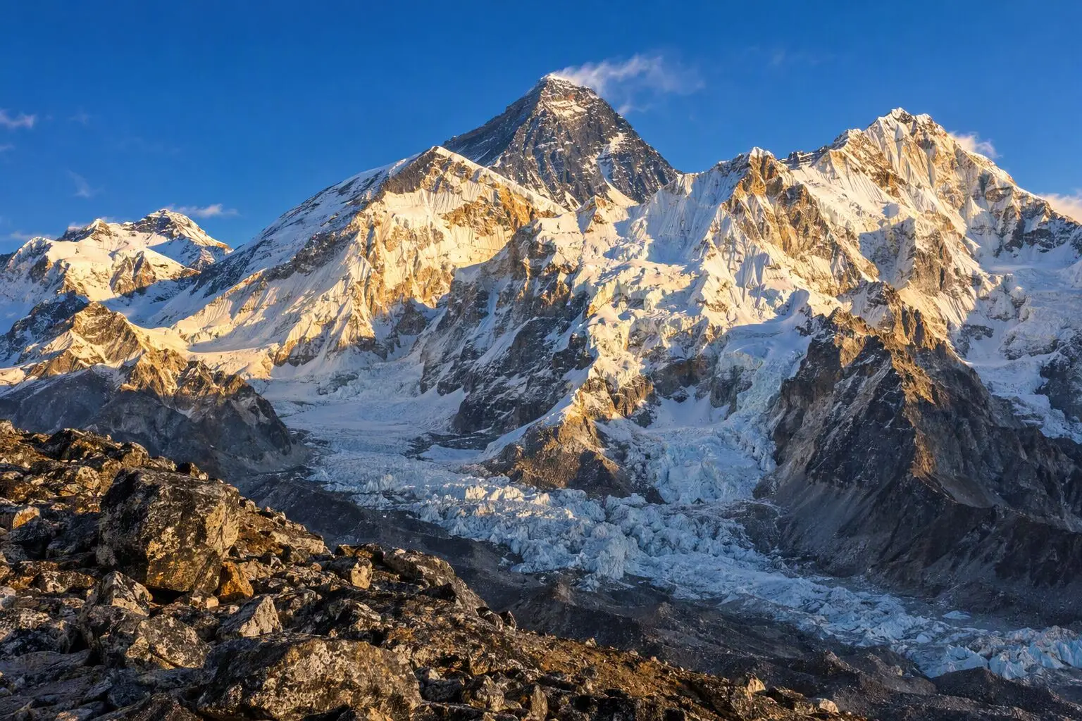
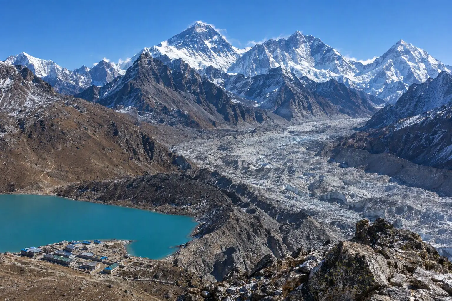
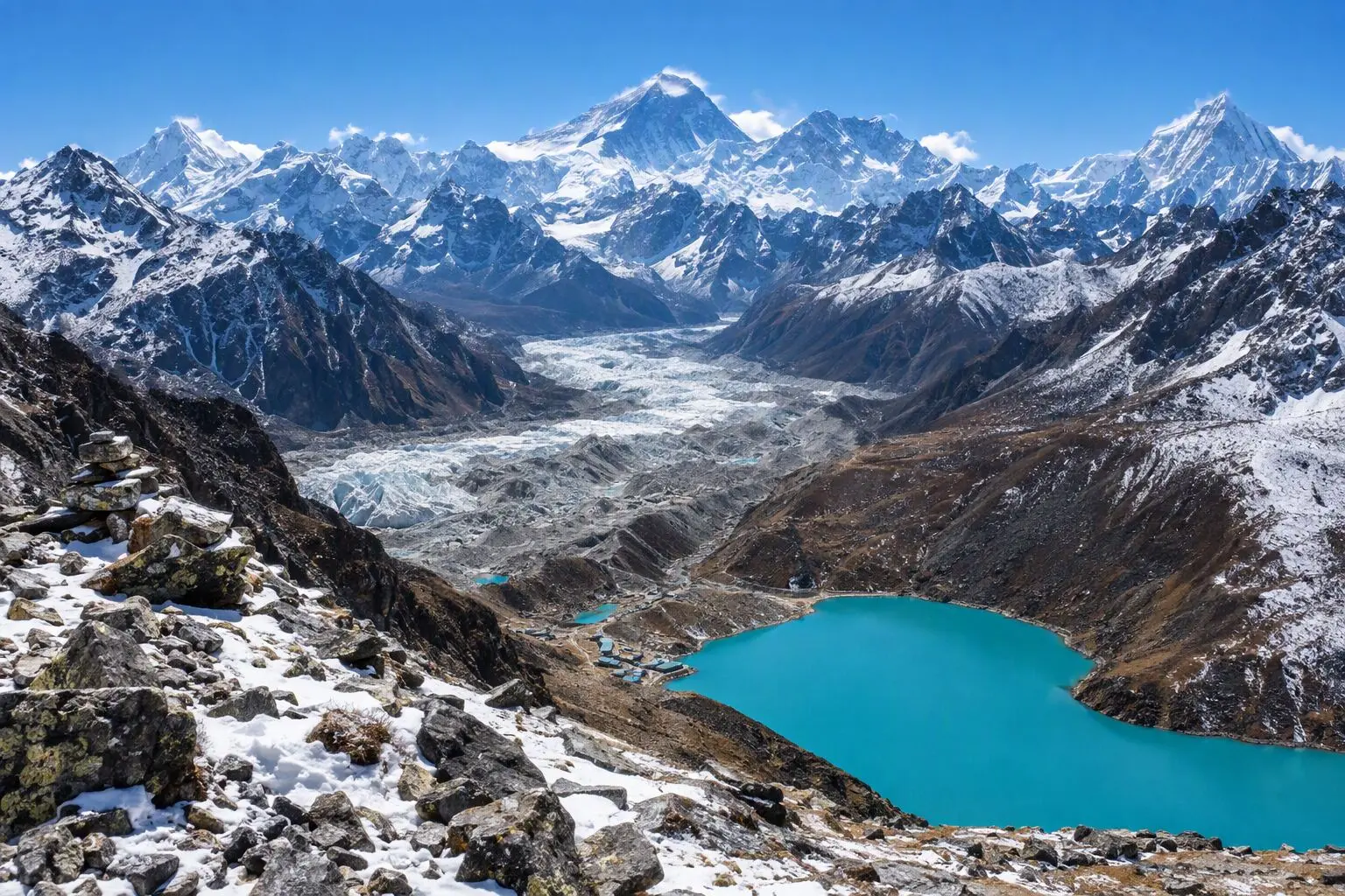
Sir Edmund Hillary, the man who first stood on the summit of Everest, declared that Pikey Peak offered his favourite view of the mountain. Not from 8,849 metres above it, not from Kala Patthar at 5,545 metres, but from this modest 4,065-metre summit in Nepal's lower Solu region — an accessible, crowd-free, seven-day trek that delivers one of the Himalaya's most extraordinary panoramas to anyone with a moderate level of fitness. The Pikey Peak trek is a revelation for travellers who assume that extraordinary Himalayan views require either extreme altitude or extreme commitment. From the summit at dawn, five of the world's fourteen 8,000-metre peaks are visible simultaneously: Everest, Kanchenjunga, Makalu, Lhotse, and Cho Oyu. The eastern Himalayan arc unfurls in a single sweep from Nepal's border with India to the Tibetan plateau. The panorama is wider than Kala Patthar, more varied than Gokyo Ri, and achieved at an altitude where even moderately fit hikers feel comfortable. The trek avoids the Lukla flight entirely — a direct drive from Kathmandu to Dhap sets the itinerary in motion — eliminating weather-related flight delays and the significant cost and logistical complexity of Tenzing-Hillary Airport. The route travels through the authentic Sherpa and Rai villages of the lower Solu, communities that have remained largely unchanged by tourism and which receive only a fraction of the foot traffic that floods the Lukla corridor. Junbesi, encountered on the descent, is one of Nepal's most beautiful traditional Sherpa towns, its apple orchards, monastery, and surrounding peaks making it a cultural destination in its own right. Pikey Peak is ideal for trekkers with limited time, those managing altitude concerns, or anyone who wants to experience genuine Himalayan magic without the commitment of a full Khumbu expedition.

Want more detail on this route?

Read our full route guide with trail conditions, permits, and planning tips.

Route Guide

Highlights

Summit Pikey Peak (4,065m) for views of Everest, Kanchenjunga, Makalu, Lhotse, and Cho Oyu
Trek through authentic Sherpa and Rai villages untouched by mass tourism
No Lukla flight needed — drive access makes this the most accessible Everest-region trek
Visit the historic pilgrimage site and monastery at Pikey Peak summit
Explore the traditional town of Junbesi, cultural heart of the Solu-Khumbu

Itinerary

7 days
Highest stop
3,640 m
Day 3
Biggest climb
+740 m
Day 3
Over 2,500 m
4 days
of 7

Day 1 of 7 · Drive from Kathmandu to Dhap

2,850 m

2,500 m · altitude zone
  1. Day 1

    Drive from Kathmandu to Dhap

    • 2,850 m
    • Teahouse
    • Breakfast, Lunch, Dinner

    The Pikey Peak trek begins not with a flight but with a road journey — one of the most scenic drives in eastern Nepal. Departing Kathmandu by private 4WD in the early morning, the route follows the B.P. Highway east through the Kathmandu Valley's rim, descending to the Sunkoshi river valley and then climbing into the hill country of the Solu region over 8 to 9 hours. The first 5 hours are on well-maintained highway; the final stretch to Dhap follows rougher mountain roads that wind through terraced fields and pine forest.

    See Dhap on the map
  2. Day 2

    Trek from Dhap to Jhapre

    • 2,900 m
    • Up50 m from day 1
    • Teahouse
    • Breakfast, Lunch, Dinner

    The first walking day from Dhap to Jhapre (2,900m) covers approximately 12 kilometres over 5 to 6 hours through the rolling hill terrain of the lower Solu region. The trail winds through a landscape of mixed forest, terraced fields, and the occasional Sherpa village, with views opening eastward toward the distant Himalayan peaks. The altitude gain is minimal — just 50 metres net — but the actual terrain involves multiple ascents and descents across the characteristic ridgeline topography of the Solu.

  3. Day 3

    Trek to Pikey Base Camp

    • 3,640 m
    • Up740 m from day 2
    • Teahouse
    • Breakfast, Lunch, Dinner
    • Highest stop
    • Biggest climb

    The 10-kilometre walk from Jhapre to Pikey Base Camp (3,640m) is the most demanding day of the approach, gaining 740 metres through increasingly alpine terrain over 5 to 6 hours. The trail climbs steadily through rhododendron and oak forest, the trees growing gradually more gnarled and wind-bent as the altitude rises, until the forest gives way to open alpine meadows and boulder-strewn ridgelines above 3,300 metres. The Pikey massif dominates the view ahead, its broad summit ridge recognisable against the sky.

  4. Day 4

    Summit Pikey Peak, Trek to Junbesi

    • 2,680 m
    • Down960 m from day 3
    • Teahouse
    • Breakfast, Lunch, Dinner

    A 4:30 AM departure from Pikey Base Camp launches the summit day in darkness, headlamps illuminating the steep 425-metre ascent to Pikey Peak's 4,065-metre summit over approximately 2 hours. The trail climbs through open alpine meadow and rocky terrain, the pre-dawn cold sharp but manageable at this moderate altitude. A small shrine and prayer flag cluster mark the broad summit ridge; the traditional pilgrim chortens and mani stones identify this as a place of spiritual as well as scenic significance.

    See Junbesi on the map
  5. Day 5

    Trek from Junbesi to Bhandar

    • 2,190 m
    • Down490 m from day 4
    • Teahouse
    • Breakfast, Lunch, Dinner

    The 22-kilometre descent from Junbesi to Bhandar (2,190m) covers the lower Solu valley section in 6 to 7 hours, dropping 490 metres net through a landscape of extraordinary pastoral beauty. The trail from Junbesi descends through apple orchards and rhododendron forest to the Junbesi Khola, crosses the river on a traditional wooden bridge, and climbs to the ridge viewpoint at Phurteng before dropping into the Solu valley proper. The descent to the Solu Khola crossing and the subsequent climb to Bhandar follows the same route in reverse that the historic Jiri-EBC expeditions used for decades.

  6. Day 6

    Drive from Bhandar to Kathmandu

    • 1,400 m
    • Down790 m from day 5
    • Hotel
    • Breakfast, Lunch

    The return journey from Bhandar to Kathmandu by private 4WD reverses the approach drive, covering approximately 200 kilometres over 8 to 9 hours. The morning departure from Bhandar follows rougher mountain roads to Charikot before joining the B.P. Highway for the long descent to the Sunkoshi river valley and the final climb to the Kathmandu Valley rim. Lunch is taken at a roadside restaurant in the valley, typically serving excellent dal bhat and fresh seasonal vegetables — a final taste of hill-country Nepal before the city.

  7. Day 7

    Departure

    • 1,400 m
    • Breakfast

    The Pikey Peak trek concludes with a private transfer from your Thamel hotel to Tribhuvan International Airport. The 30 to 45-minute drive through Kathmandu traffic is the final movement of a seven-day itinerary that required no flights, no high-altitude permits, and no technical climbing — just a moderate level of fitness, a willingness to wake before dawn, and the good judgment to choose the viewpoint that Edmund Hillary himself preferred.

Want a different pace?

A local guide can add a rest day, shorten a stage, or swap where you sleep. We reply within 24 hours.

Ask a guide on WhatsApp

What's Included

Best Time to Trek Pikey Peak

Month by month

Main seasons: Mar to May, Sep to Nov and Dec to Feb

Tap a month to add it to your plan.

Spring

Rhododendron forests bloom along the lower trails. The summit panorama is clear most mornings. Comfortable temperatures for the 2-3 day approach.

Autumn

The premier season for mountain visibility — all five 8,000m peaks visible from the summit on clear days. Crisp air and golden harvest light in the villages.

Winter

December-February delivers the clearest skies of the year. Cold but manageable at this moderate altitude. Very few other trekkers on the trail.

From
$549/ person

Before you book

Is the Pikey Peak Trek right for you?

Straight answers from this trek's own plan. Tap Ask about this on anything you are unsure of, and we send it all to a local guide in one message.

Who this trek suits

Ideal for trekkers with limited time who still want Everest-region views. At just 7 days with a maximum altitude of 4,065m, Pikey Peak is accessible to moderately fit hikers. The drive-in approach eliminates Lukla flight risks. Sir Edmund Hillary called this the best viewpoint in the Solu-Khumbu.

Can I walk it?

Level 2 of 4: Moderate.

5-7 hours walking per day

  • Some steep sections, moderate altitude
  • Basic fitness and some hiking experience recommended

The most accessible trek in the Everest region. Moderate fitness is sufficient — daily walking is 4-6 hours at altitudes well below the serious AMS threshold. The summit day involves a pre-dawn 400m ascent that takes about 2 hours. No prior high-altitude experience required.

How high does it go?

Highest point 4,065 meters. 4 of 7 days end above 2,500 meters.

Days above 2,500 m
4 of 7
Rest days to adjust
0

Above 2,500 m altitude sickness is possible for anyone, fit or not. Walk slowly, drink plenty and tell your guide how you feel. Our guides are trained Wilderness First Responders. This plan has no separate rest day; ask us if you want one added.

Where will I sleep?

  • 5teahouse nights
  • 1hotel night

Teahouses are simple family-run lodges: a twin room, a shared dining room and home-cooked meals. Rooms get more basic the higher you go.

Teahouses by altitude

Who will I walk with?

Up to 12 trekkers per group

  • Guides trained as Wilderness First Responders
  • Guiding in 5 languages: English, German, French, Spanish, Nepali
  • Nepal Tourism Board Licensed, trekking since 2010
Meet the team

What if my plans change?

  1. You bookNo deposit
  2. 30 days beforeFree to cancel until here
  3. DepartureGuaranteed to run

You do not pay a deposit to hold your dates. Cancel for free up to 30 days before you start, and our departures are guaranteed, so a confirmed date runs.

What do other trekkers say?

4.9out of 5, from 1,200+ reviews
“From the first email to standing at Base Camp, everything was handled perfectly.”
James & Lisa, Melbourne, Australia
Read more reviews

Still unsure? Ask a guide who has walked it.

Tap Ask about this on any answer above to add it to your message.

A real person in our Thamel office replies within 24 hours. Asking costs nothing.

The route

Where the route goes

Every stop on a satellite map, numbered in order. The line follows the trail as mapped on OpenStreetMap, and runs straight where no trail is mapped. Tap a stop on the map or in the list for its elevation and where you sleep, or switch to the topo map for contour lines. Pick 3D to see the valleys and passes in relief, and fly along the trail.

4 stopsWalk the route stop by stop

Height along the trail: 4 stops over 21.0 km of the route as drawn on the map, from Dhap at 2,830 meters to Junbesi at 2,675 meters.

Ground height along the OpenStreetMap trail, from the Copernicus DEM GLO-90 (© DLR e.V. 2010-2014 and © Airbus Defence and Space GmbH 2014-2018, provided under COPERNICUS by the European Union and ESA). Stop heights are our own. Dashed: no mapped trail, a straight line between the stops.

  • Trail, from OpenStreetMap
  • Straight line where the trail is not mapped
  • Start
  • Finish
  • Overnight stop
  • Stop on the way

4 stops, in order

Frequently asked questions

Similar treks nearby

Other routes in the Everest region.

  • Everest Base Camp Trek

    14 daysChallenging

    Highest point 5,545 m

    Best: Spring, Autumn

    from$1,349

  • Gokyo Lakes Trek

    13 daysChallenging

    Highest point 5,357 m

    Best: Spring, Autumn

    from$949

  • Everest Three Passes Trek

    19 daysStrenuous

    Highest point 5,545 m

    Best: Spring, Autumn

    from$1,799

Compare0/3
Add a trek
Add a trek
Add a trek