Skip to content
+977-9861293812
WhatsApp
Trek and Tour Nepal
Langtang Region · Nepal

Helambu Trek

4.5from 86 reviews
Days
6
Highest point
3,650 m
Level
Easy
Best months
Mar to May, Sep to Nov and Dec to Feb

Overview

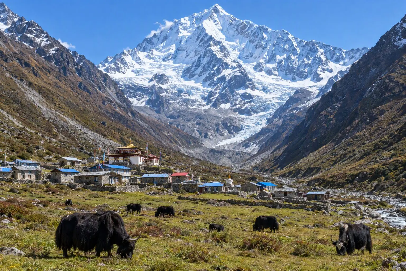
Most Himalayan treks demand a flight or a full day's drive before the first footstep. Helambu asks only for a 45-minute taxi ride to the Kathmandu Valley's northern rim, and then you walk. From the trailhead at Sundarijal the trail climbs directly into Shivapuri-Nagarjun National Park, leaving the city behind within minutes as the forest closes in and the sounds of traffic fade to birdsong and wind. The circuit weaves through a landscape of genuine cultural depth. Hyolmo Sherpa and Tamang communities have farmed and worshipped on these ridges for centuries, building monasteries whose painted facades still glow with freshly applied pigment, tending mani walls so long they take minutes to walk past, and welcoming trekkers with the same generous hospitality that has defined their reputation across the Himalayas. Tarke Ghyang — one of the most handsome village monasteries outside the Khumbu — stands on a ridge above the Melamchi valley with views that justify the climb on their own. At a maximum altitude of 3,650m, Helambu sits comfortably below the altitude sickness threshold for most trekkers. Daily stages are measured — four to six hours of walking through forests of oak, rhododendron, and fir, with villages spaced conveniently for teahouse stops and lunch. This is the ideal first multi-day trek in the Himalayas: culturally rewarding, physically manageable, and accessible in every season from spring blossom to winter clarity. Six days in, six days out — no flights, no long drives, just Kathmandu and the mountains.

Want more detail on this route?

Read our full route guide with trail conditions, permits, and planning tips.

Route Guide

Highlights

Start trekking from the edge of Kathmandu — no flights or long drives needed
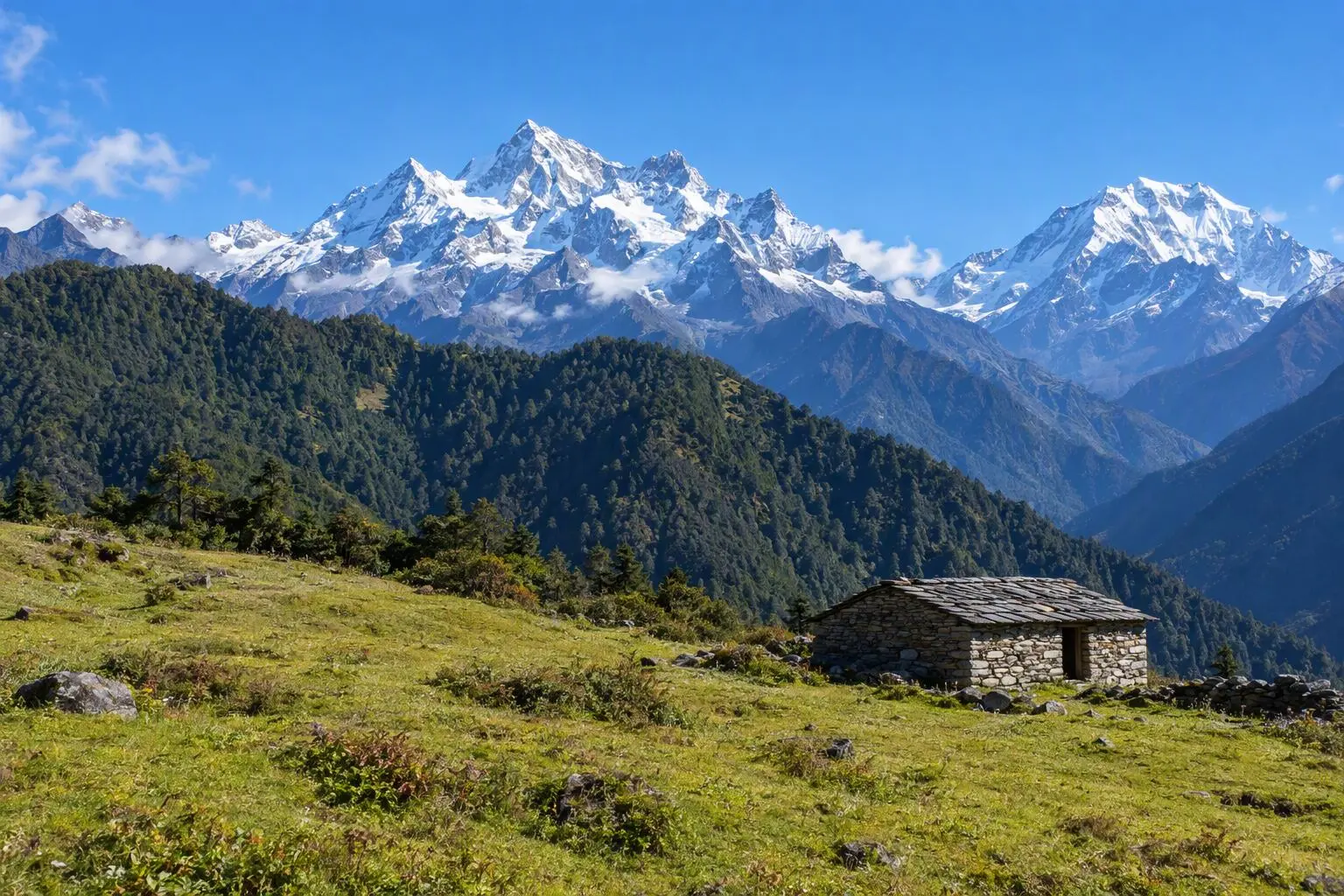
Panoramic Himalayan views from Chisapani ridge on Day 1
Visit Tarke Ghyang, one of the most beautiful Sherpa villages outside the Khumbu
Walk through Tamang Buddhist villages with ancient monasteries and painted gompas
Traverse through Shivapuri-Nagarjun National Park's pristine oak and rhododendron forest

Itinerary

6 days
Highest stop
3,650 m
Day 3
Biggest climb
+1,180 m
Day 3
Over 2,500 m
3 days
of 6

Day 1 of 6 · Trek from Sundarijal to Chisapani

2,165 m

2,500 m · altitude zone
  1. Day 1

    Trek from Sundarijal to Chisapani

    • 2,165 m
    • Teahouse
    • Breakfast, Lunch, Dinner

    A 45-minute drive north from Thamel deposits you at Sundarijal (1,460m), where the Bagmati River emerges from the forested hills of Shivapuri-Nagarjun National Park in a small but vigorous waterfall. The trail begins immediately by climbing stone steps past the waterfall and entering the national park boundary. The ascent through thick oak and rhododendron forest is steady — approximately 700 metres of gain over 9-10 km — and takes 4-5 hours at a comfortable pace. This is one of the finest forest approaches in the Langtang region: mossy boulders, fern-covered banks, the calls of jungle babblers and laughing thrushes threading through the canopy.

    See Chisopani on the map
  2. Day 2

    Trek to Kutumsang

    • 2,470 m
    • Up305 m from day 1
    • Teahouse
    • Breakfast, Lunch, Dinner

    From Chisapani the trail continues along the ridge through a mixed forest of oak, chestnut, and rhododendron, with views to the north opening progressively over the Jugal Himal. The walking is moderate — 12-14 km over 5-6 hours with a total elevation gain of around 300 metres to Kutumsang (2,470m), though the terrain undulates considerably, with several steep climbs and descents along the ridge crest. The village of Pati Bhanjyang (1,770m) is a midway point and a good lunch stop, with teahouses serving fresh momos and egg dishes.

    See Kutumsang on the map
  3. Day 3

    Trek to Tharepati

    • 3,650 m
    • Up1,180 m from day 2
    • Teahouse
    • Breakfast, Lunch, Dinner
    • Highest stop
    • Biggest climb

    The highest day of the trek, climbing from Kutumsang to Tharepati (3,650m) over 9-10 km and 1,180 metres of ascent — a serious day of uphill work that takes 5-6 hours. The trail passes through Gul Bhanjyang (2,100m) before entering dense rhododendron forest whose canopy, in spring, creates a tunnel of blossoms overhead. This section between Kutumsang and Tharepati is considered one of the finest rhododendron trails in Nepal — dozens of species from ground-covering dwarfs to ancient tree rhododendrons eight metres tall cover the slopes.

    See Tharepati on the map
  4. Day 4

    Trek to Tarke Ghyang

    • 2,600 m
    • Down1,050 m from day 3
    • Teahouse
    • Breakfast, Lunch, Dinner

    From the ridge at Tharepati the trail descends east into the Melamchi valley, losing about 1,050 metres over 9-10 km to reach Tarke Ghyang (2,600m) in 4-5 hours of comfortable downhill walking. The descent passes through a series of small Hyolmo Sherpa settlements set in clearings in the forest — stone houses with prayer flags, small chortens, and kitchen gardens growing potato, beans, and maize. The forest changes character on this eastern flank, with pine and fir adding to the rhododendron and oak mix as altitude drops.

  5. Day 5

    Trek to Sermathang, Drive to Kathmandu

    • 2,620 m
    • Up20 m from day 4
    • Hotel
    • Breakfast, Lunch, Dinner

    The final walking day is a gentle traverse south from Tarke Ghyang to Sermathang (2,620m) along forest paths — a 3-4 hour walk with minimal elevation change. The trail passes through Kakani village and crosses several small streams before arriving at Sermathang, a prosperous Hyolmo Sherpa settlement with a large monastery and several well-equipped teahouses. Sermathang was significantly damaged in the 2015 earthquake but has been thoroughly rebuilt, with the monastery restored to its former painted glory.

  6. Day 6

    Departure

    • 1,400 m
    • Down1,220 m from day 5
    • Breakfast

    Final morning in Kathmandu with a private airport transfer timed to your flight. The 30-45 minute drive from Thamel to Tribhuvan International Airport is straightforward in the early morning before traffic builds. If your departure is in the afternoon, the nearby Boudhanath Stupa — one of the world's great Buddhist monuments — is a serene place to spend a final morning, just fifteen minutes by taxi from the old city. The Helambu circuit is an understatedly fine introduction to Himalayan trekking, and one of Nepal's genuinely accessible gems.

Want a different pace?

A local guide can add a rest day, shorten a stage, or swap where you sleep. We reply within 24 hours.

Ask a guide on WhatsApp

What's Included

Best Time to Trek Helambu

Month by month

Main seasons: Mar to May, Sep to Nov and Dec to Feb

Tap a month to add it to your plan.

Spring

Rhododendrons bloom along the forest trail between Kutumsang and Tharepati. The ridge walk to Chisapani is green and lush.

Autumn

October-November brings clear Himalayan views from every ridge. Harvest season in the villages. The trail is dry and pleasant.

Winter

December-February is cold at Tharepati (3,650m) but the trail is peaceful and views are crystal-clear. Lower sections remain comfortable.

From
$450/ person

Before you book

Is the Helambu Trek right for you?

Straight answers from this trek's own plan. Tap Ask about this on anything you are unsure of, and we send it all to a local guide in one message.

Who this trek suits

The most accessible multi-day Himalayan trek — walk from the Kathmandu city limits into mountain wilderness. Helambu is perfect for travellers with limited time, first-time trekkers, and anyone who wants cultural immersion in Tamang and Sherpa villages. No flights, no long drives, just put on your boots and go.

Can I walk it?

Level 1 of 4: Easy.

4-5 hours walking per day

  • Well-maintained trails, gradual elevation gain
  • No prior trekking experience needed

Easy to moderate fitness. The longest day involves 5-6 hours of walking. The climb to Tharepati (3,650m) is the only section requiring moderate effort. No altitude sickness concerns for most people at this height. A great first multi-day trek.

How high does it go?

Highest point 3,650 meters. 3 of 6 days end above 2,500 meters.

Days above 2,500 m
3 of 6
Rest days to adjust
0

Above 2,500 m altitude sickness is possible for anyone, fit or not. Walk slowly, drink plenty and tell your guide how you feel. Our guides are trained Wilderness First Responders. This plan has no separate rest day; ask us if you want one added.

Where will I sleep?

  • 4teahouse nights
  • 1hotel night

Teahouses are simple family-run lodges: a twin room, a shared dining room and home-cooked meals. Rooms get more basic the higher you go.

Teahouses by altitude

Who will I walk with?

Up to 12 trekkers per group

  • Guides trained as Wilderness First Responders
  • Guiding in 5 languages: English, German, French, Spanish, Nepali
  • Nepal Tourism Board Licensed, trekking since 2010
Meet the team

What if my plans change?

  1. You bookNo deposit
  2. 30 days beforeFree to cancel until here
  3. DepartureGuaranteed to run

You do not pay a deposit to hold your dates. Cancel for free up to 30 days before you start, and our departures are guaranteed, so a confirmed date runs.

What do other trekkers say?

4.9out of 5, from 1,200+ reviews
“The team customized the itinerary so everyone could enjoy at their own pace.”
Markus Weber, Langtang Valley, 2025
Read more reviews

Still unsure? Ask a guide who has walked it.

Tap Ask about this on any answer above to add it to your message.

A real person in our Thamel office replies within 24 hours. Asking costs nothing.

The route

Where the route goes

Every stop on a satellite map, numbered in order. The line follows the trail as mapped on OpenStreetMap. Tap a stop on the map or in the list for its elevation and where you sleep, or switch to the topo map for contour lines. Pick 3D to see the valleys and passes in relief, and fly along the trail.

6 stopsWalk the route stop by stop

Height along the trail: 6 stops over 45.7 km of the route as drawn on the map, from Sundarijal at 1,350 meters to Tarkeghyang at 2,607 meters.

Ground height along the OpenStreetMap trail, from the Copernicus DEM GLO-90 (© DLR e.V. 2010-2014 and © Airbus Defence and Space GmbH 2014-2018, provided under COPERNICUS by the European Union and ESA). Stop heights are our own.

  • Trail, from OpenStreetMap
  • Start
  • Finish
  • Overnight stop

6 stops, in order

Frequently asked questions

Similar treks nearby

Other routes in the Langtang region.

Compare0/3
Add a trek
Add a trek
Add a trek