Skip to content
+977-9861293812
WhatsApp
Trek and Tour Nepal
Mustang Region · Nepal

Upper Mustang Trek

4.8from 86 reviews
Days
12
Highest point
3,840 m
Level
Moderate
Best months
Mar to May, Jun to Aug and Sep to Nov

Overview

Upper Mustang is Nepal's Last Forbidden Kingdom, a remote Tibetan Buddhist enclave that remained sealed from the outside world until 1992. Once an independent kingdom called Lo, this restricted area sits in the rain shadow of the Annapurna and Dhaulagiri massifs, creating a stark high-altitude desert landscape unlike anywhere else in Nepal. The walled medieval capital of Lo Manthang, home to roughly 150 houses and four great temples, stands virtually unchanged since the 14th century, its whitewashed walls and five-story royal palace rising from a treeless brown plateau just 30 kilometres from the Tibetan border. Along the trail you encounter 3,000-year-old sky caves carved into sheer cliff faces, 15th-century monastery murals of extraordinary beauty, and villages where yak dung fuels the hearth and mule caravans still deliver supplies. This trek is ideal for culture lovers, photographers, and experienced trekkers seeking something far beyond the classic Himalayan circuit. Spring is the premier season, offering the spectacular three-day Tiji festival in Lo Manthang, while the monsoon months remain viable thanks to the rain shadow effect that keeps Upper Mustang dry when the rest of Nepal is drenched.

Want more detail on this route?

Read our full route guide with trail conditions, permits, and planning tips.

Route Guide

Highlights

Explore Lo Manthang, the medieval walled capital
Discover 3,000-year-old sky caves at Choser
Trek through Nepal's rain shadow desert landscape
Visit 15th-century murals in Thubchen Gompa
Walk the Kali Gandaki, the world's deepest gorge
Experience a living Tibetan Buddhist kingdom

Itinerary

12 days
Highest stop
3,840 m
Day 7
Biggest climb
+425 m
Day 5
Over 2,500 m
9 days
of 12

Day 1 of 12 · Arrive in Kathmandu

1,400 m

2,500 m · altitude zone
  1. Day 1

    Arrive in Kathmandu

    • 1,400 m
    • Hotel
    • Dinner

    Your Upper Mustang expedition begins with arrival at Tribhuvan International Airport in Kathmandu (1,400m). Our representative meets you outside the terminal and transfers you by private vehicle to your hotel in the Thamel district, a 30-minute drive through the bustling capital. After settling in, join your trek leader for a comprehensive briefing covering the 12-day itinerary, restricted area permit protocols, and the unique demands of trekking in Nepal's rain shadow desert.

  2. Day 2

    Fly to Pokhara, then Jomsom

    • 2,720 m
    • Up1,320 m from day 1
    • Teahouse
    • Breakfast, Lunch, Dinner

    An early morning domestic flight carries you from Kathmandu to Pokhara (25 minutes), where you connect to a second flight up the Kali Gandaki valley to Jomsom (2,720m), roughly 20 minutes of dramatic mountain flying between the Annapurna and Dhaulagiri massifs. Jomsom's short gravel runway sits in the deepest river gorge on earth, and flights operate only in the calm morning hours before fierce afternoon winds funnel through the valley.

    See Jomsom on the map
  3. Day 3

    Trek to Kagbeni

    • 2,800 m
    • Up80 m from day 2
    • Teahouse
    • Breakfast, Lunch, Dinner

    Today's walk is a gentle 3-hour, 10 km stroll northward along the broad, stony bed of the Kali Gandaki River from Jomsom to Kagbeni (2,810m), gaining just 90m of elevation. The trail passes through the famous apple-growing village of Marpha, where whitewashed stone houses line cobbled lanes and small distilleries offer tastings of local apple brandy. Beyond Marpha the valley widens into a windswept gravel plain dotted with prayer flags.

    See Kagbeni on the map
  4. Day 4

    Trek to Chele

    • 3,050 m
    • Up250 m from day 3
    • Teahouse
    • Breakfast, Lunch, Dinner

    You officially enter the Upper Mustang restricted zone this morning, presenting your permit at the Kagbeni checkpoint before following the Kali Gandaki north. The trail covers roughly 14 km over 5 to 6 hours of walking, climbing 400m through a landscape that transforms dramatically once you pass the invisible rain shadow line. Lush valley greens give way to rust-colored cliffs, grey scree slopes, and eroded sandstone pillars carved by millennia of wind.

    See Chele on the map
  5. Day 5

    Trek to Syangboche

    • 3,475 m
    • Up425 m from day 4
    • Teahouse
    • Breakfast, Lunch, Dinner
    • Biggest climb

    This is one of the most physically demanding and scenically rewarding days of the trek, covering around 15 km in 6 to 7 hours with two significant pass crossings: Taklam La (3,624m) and Dajori La (3,735m). The trail climbs steeply out of Chele through switchbacks on a dry, rocky hillside before leveling off at the first pass, where prayer flags snap in the wind and views open south toward the Annapurna and Dhaulagiri ranges. A descent into a sheltered valley leads to the village of Samar (3,290m), a green oasis of poplar trees and barley fields tucked behind dramatic red and grey cliffs.

  6. Day 6

    Trek to Ghami

    • 3,520 m
    • Up45 m from day 5
    • Teahouse
    • Breakfast, Lunch, Dinner

    The day begins with a descent into a riverbed before a steady climb of about 12 km over 5 to 6 hours to the village of Ghami (3,520m), also spelled Ghemi. The trail passes through Ghiling (3,570m), a whitewashed Tibetan village surrounded by irrigated barley fields that appear startlingly green against the surrounding grey desert. Ghiling's small gompa is worth a visit, its prayer wheels spinning in the ever-present wind.

    See Ghami on the map
  7. Day 7

    Trek to Lo Manthang

    • 3,840 m
    • Up320 m from day 6
    • Teahouse
    • Breakfast, Lunch, Dinner
    • Highest stop

    The culmination of the northbound journey, today's 14 km walk over 5 to 6 hours crosses the Tsarang La pass (3,870m) before descending briefly to the fortress village of Tsarang (3,560m) and then climbing gradually to Lo Manthang (3,810m). The trail between Ghami and Tsarang follows a high, exposed ridgeline with sweeping views across the Mustang plateau toward the Tibetan border, less than 30 km to the north. Prayer flags mark every saddle point, streaming horizontally in the morning breeze.

  8. Day 8

    Explore Lo Manthang

    • 3,840 m
    • Teahouse
    • Breakfast, Lunch, Dinner

    A full rest day dedicated to exploring the walled capital of the last forbidden kingdom. The morning begins with visits to Lo Manthang's four great temples. Thubchen Gompa, a massive 15th-century assembly hall, contains some of the finest Buddhist murals in the entire Himalayan region, recently restored by international conservation teams. Champa Lhakhang (the God House) holds a towering three-story clay statue of Maitreya, the future Buddha, surrounded by walls covered in intricate Newari-Tibetan paintings depicting celestial beings, demons, and the Buddha's many lives.

  9. Day 9

    Trek to Drakmar

    • 3,810 m
    • Down30 m from day 8
    • Teahouse
    • Breakfast, Lunch, Dinner

    The return journey begins via a different route to maximize the landscapes you experience. Today covers roughly 16 km over 6 to 7 hours, heading east from Lo Manthang to the village of Choser before turning south to Drakmar (3,810m). The trail crosses a high, windswept plateau before dropping into the surreal canyon system around Choser, where thousands of ancient sky caves honeycomb the cliff faces at dizzying heights. Some of these caves, accessible only by rickety wooden ladders, have yielded 2,000-year-old burial remains and painted manuscripts that rewrote the archaeological understanding of trans-Himalayan civilizations.

  10. Day 10

    Trek to Chhuksang

    • 3,050 m
    • Down760 m from day 9
    • Teahouse
    • Breakfast, Lunch, Dinner

    A long but mostly downhill day of around 18 km over 6 to 7 hours, descending 760m from Drakmar to Chhuksang (3,050m) through some of the most dramatic canyon scenery on the trek. The trail bypasses the outbound route by taking a lower path along the Kali Gandaki riverbed, weaving between towering sedimentary walls in shades of grey, purple, and rust. Fossil-rich limestone embedded with 150-million-year-old ammonite shells (called shaligrams, sacred to both Hindus and Buddhists) litters the riverbanks.

  11. Day 11

    Trek to Jomsom, Fly to Pokhara

    • 820 m
    • Down2,230 m from day 10
    • Hotel
    • Breakfast, Lunch

    An early pre-dawn start is essential today. The 20 km trek from Chhuksang back through Kagbeni to Jomsom takes 5 to 6 hours of fast-paced walking, almost entirely downhill along the broad Kali Gandaki riverbed, losing 330m of elevation. You must reach Jomsom before the midday wind shuts down the airstrip, as your afternoon flight to Pokhara depends on calm conditions. The trail retraces the outbound route past Kagbeni's medieval towers and Marpha's apple orchards, both looking different in the early morning light.

    See Jomsom on the map
  12. Day 12

    Fly to Kathmandu, Departure

    • 1,400 m
    • Up580 m from day 11
    • Breakfast

    A 25-minute morning flight returns you from Pokhara to Kathmandu, crossing the green middle hills of Nepal with views of the Himalayan chain stretching along the northern horizon. Upon landing at Tribhuvan International Airport, our vehicle transfers you directly to the international terminal for your onward flight, or to your hotel if you have additional nights in the capital.

Want a different pace?

A local guide can add a rest day, shorten a stage, or swap where you sleep. We reply within 24 hours.

Ask a guide on WhatsApp

What's Included

Best Time to Trek Upper Mustang

Month by month

Main seasons: Mar to May, Jun to Aug and Sep to Nov

Tap a month to add it to your plan.

Spring

March-May brings the spectacular three-day Tiji festival in Lo Manthang — masked dances, horseback processions, and the medieval walled city at its most vibrant. The high plateau warms to comfortable daytime temperatures.

Autumn

September-November offers stable weather and clear views across the Tibetan-style desert landscape. The Kali Gandaki gorge is at its most photogenic with golden afternoon light on the red and ochre cliff faces.

Monsoon

Uniquely among Nepal treks, Upper Mustang remains dry during June-August thanks to the rain shadow behind Annapurna and Dhaulagiri. A rare monsoon trekking option with green barley fields and dramatic cloud formations.

From
$1,649/ person

Before you book

Is the Upper Mustang Trek right for you?

Straight answers from this trek's own plan. Tap Ask about this on anything you are unsure of, and we send it all to a local guide in one message.

Who this trek suits

Perfect for culture lovers and photographers seeking a living Tibetan Buddhist kingdom. Spring coincides with the spectacular three-day Tiji festival in Lo Manthang, autumn offers stable weather for the high plateau, and uniquely among Nepal treks, monsoon months remain viable thanks to the rain shadow behind Annapurna and Dhaulagiri.

Can I walk it?

Level 2 of 4: Moderate.

5-7 hours walking per day

  • Some steep sections, moderate altitude
  • Basic fitness and some hiking experience recommended

The altitude is moderate (max 3,800m) but the daily distances are longer and the terrain is dry and exposed. Good general fitness is more important than altitude experience here. The cultural content keeps you mentally engaged through the longer walking days.

How high does it go?

Highest point 3,840 meters. 9 of 12 days end above 2,500 meters.

Days above 2,500 m
9 of 12
Rest days to adjust
1

Above 2,500 m altitude sickness is possible for anyone, fit or not. Walk slowly, drink plenty and tell your guide how you feel. Our guides are trained Wilderness First Responders.

Where will I sleep?

  • 9teahouse nights
  • 2hotel nights

Teahouses are simple family-run lodges: a twin room, a shared dining room and home-cooked meals. Rooms get more basic the higher you go. A more comfortable lodge option is available on this trek.

Teahouses by altitude

Who will I walk with?

Up to 12 trekkers per group

  • Guides trained as Wilderness First Responders
  • Guiding in 5 languages: English, German, French, Spanish, Nepali
  • Nepal Tourism Board Licensed, trekking since 2010
Meet the team

What if my plans change?

  1. You bookNo deposit
  2. 30 days beforeFree to cancel until here
  3. DepartureGuaranteed to run

You do not pay a deposit to hold your dates. Cancel for free up to 30 days before you start, and our departures are guaranteed, so a confirmed date runs.

What do other trekkers say?

4.9out of 5, from 1,200+ reviews
“Already planning our second trek with them. The attention to detail is unmatched.”
David Chen, Vancouver, Canada
Read more reviews

Still unsure? Ask a guide who has walked it.

Tap Ask about this on any answer above to add it to your message.

A real person in our Thamel office replies within 24 hours. Asking costs nothing.

The route

Where the route goes

Every stop on a satellite map, numbered in order, with the peaks around them. The line follows the trail as mapped on OpenStreetMap. Tap a stop on the map or in the list for its elevation and where you sleep, or switch to the topo map for contour lines. Pick 3D to see the valleys and passes in relief, and fly along the trail.

7 stopsWalk the route stop by stop

Height along the trail: 7 stops over 69.7 km of the route as drawn on the map, from Jomsom at 2,743 meters to Lo Manthang at 3,840 meters.

Ground height along the OpenStreetMap trail, from the Copernicus DEM GLO-90 (© DLR e.V. 2010-2014 and © Airbus Defence and Space GmbH 2014-2018, provided under COPERNICUS by the European Union and ESA). Stop heights are our own.

  • Trail, from OpenStreetMap
  • Start
  • Finish
  • Overnight stop
  • Mountain peak

7 stops, in order

Frequently asked questions

Similar treks

Other moderate treks in Nepal.

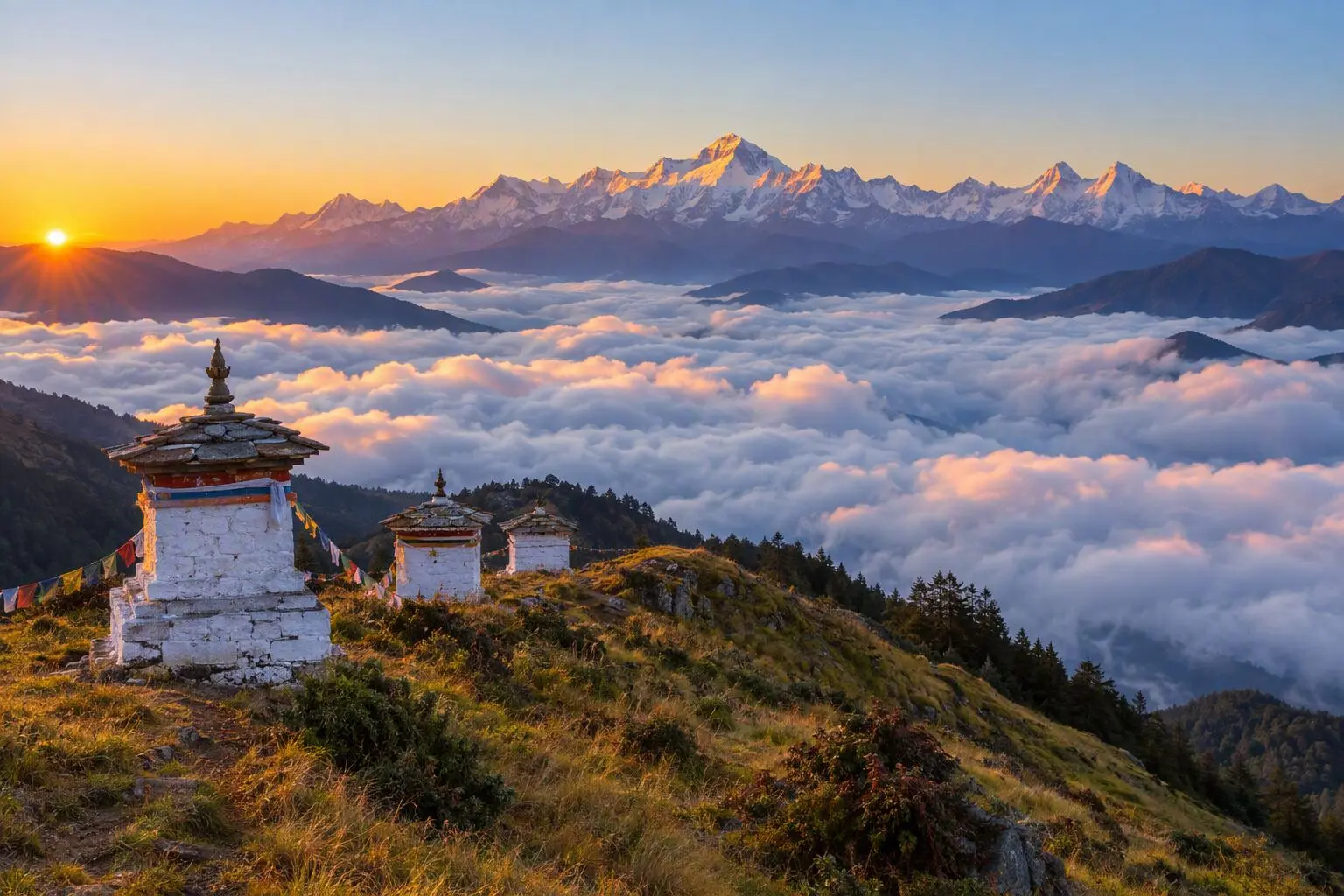
  • Pikey Peak Trek

    7 daysModerate

    Highest point 4,065 m

    Best: Spring, Autumn, Winter

    from$549

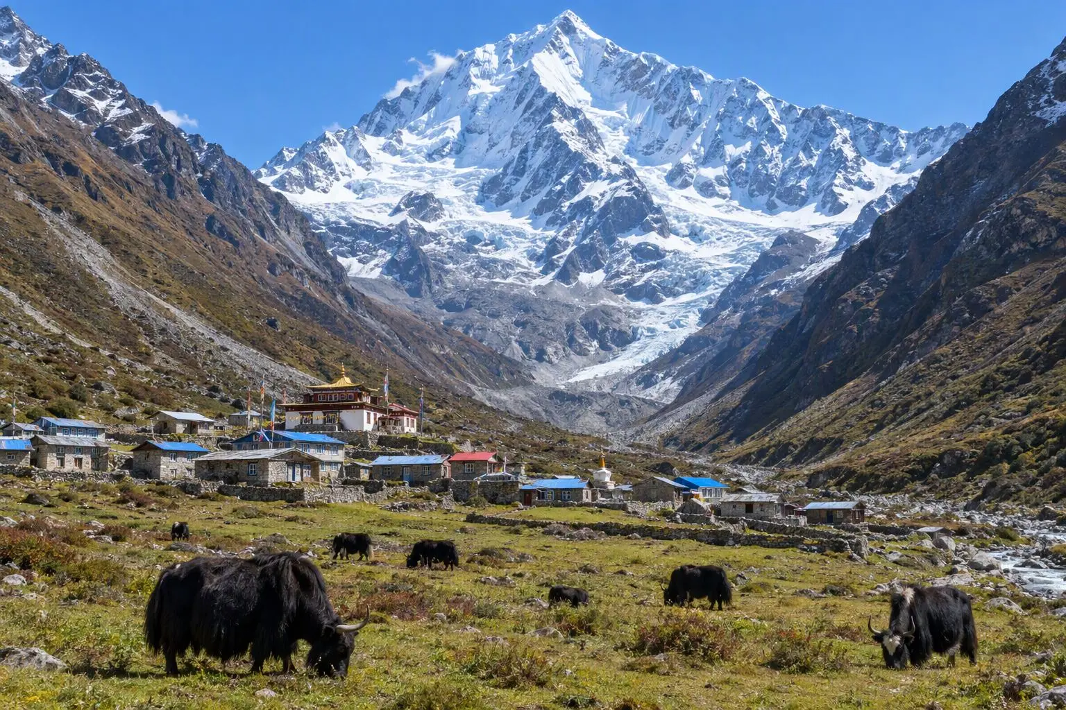
  • Langtang Valley Trek

    7 daysModerate

    Highest point 3,800 m

    Best: Spring, Autumn, Winter

    from$649

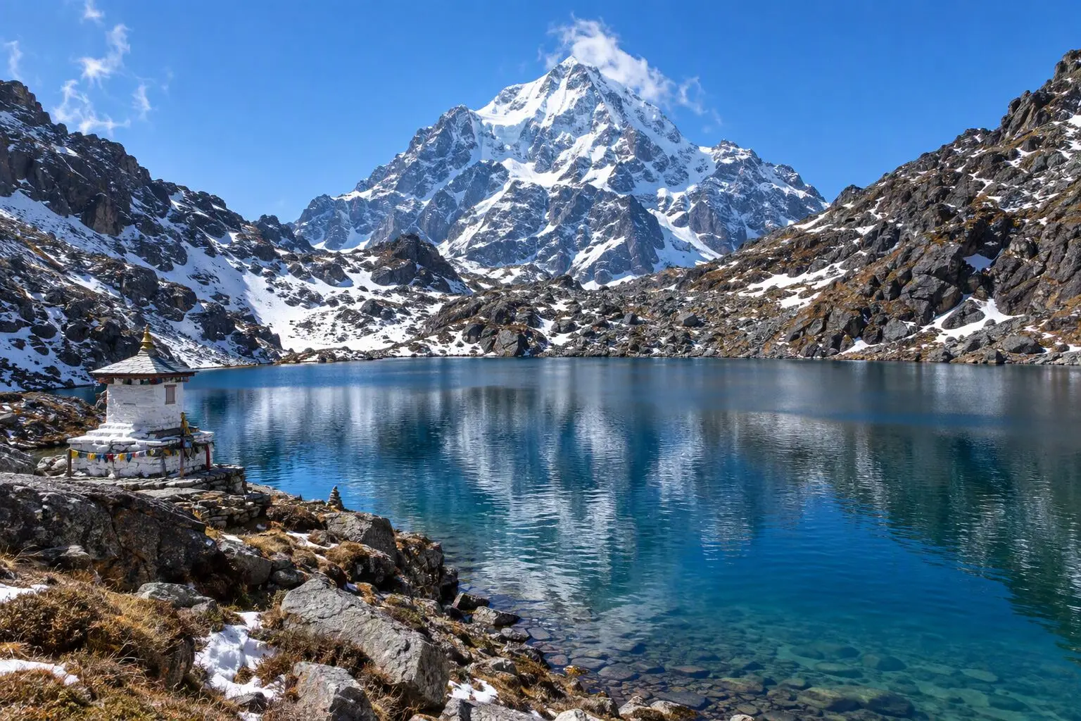
  • Gosainkunda Lake Trek

    8 daysModerate

    Highest point 4,380 m

    Best: Spring, Autumn

    from$599

Compare0/3
Add a trek
Add a trek
Add a trek